UN/LOCODE hub · France
FRBON

Bonifacio

41.3833°, 9.1667°
2,781
Population
1
Transport functions

Transport Functions

Port
Bonifacio is also a profiled seaport →
UN/LOCODE

Hub Profile

Place type
Populated place
GeoNames
Region
Corsica
GeoNames
Population
2,781
GeoNames
Time zone
Europe/Paris
GeoNames
Elevation
61 m
GeoNames

Location

Location of FRBON
Natural Earth 10m (public domain) · Corsica · FRBON · 41.38, 9.17GoogleOSMYandex

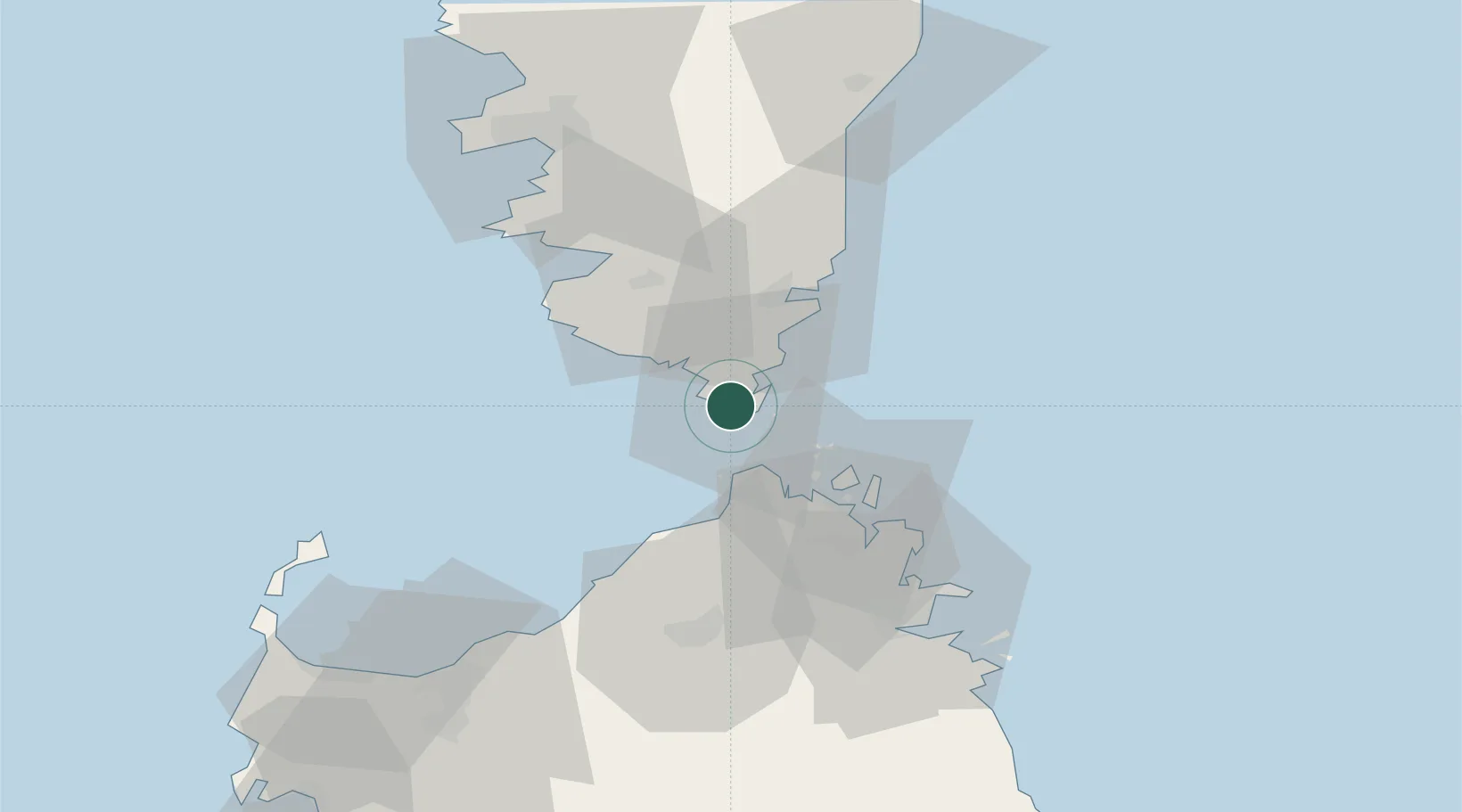
Nearby Logistics Neighbours

Cities
  1. 1Capo Pertusato2 km
  2. 2Santa Teresa di Gallura17 km
  3. 3Porto-Vecchio24 km
  4. 4La Maddalena27 km
  5. 5Sainte-Lucie-de-Porto-Vecchio38 km
Nearest neighbours — logibook spatial index (haversine) over the source coordinates
Ports
  1. 1Porto Vecchio24 km
  2. 2Maddalena28 km
  3. 3Port De Propriano40 km
  4. 4Porto Cervo42 km
  5. 5Golfo Aranci58 km
Nearest neighbours — logibook spatial index (haversine) over the source coordinates
Airports
  1. 1Figari Sud-Corse Airport14 km
  2. 2Olbia Costa Smeralda Airport61 km
  3. 3Solenzara (BA 126) Air Base63 km
  4. 4Ajaccio Napoléon Bonaparte airport67 km
  5. 5Alghero-Fertilia Airport111 km
Nearest neighbours — logibook spatial index (haversine) over the source coordinates
Trade Zones
  1. 1Sardinia Special Economic Zone Area90 km
  2. 2Free Zone of Portovesme253 km
  3. 3ZFU LAriane305 km
  4. 4ZFU Toulon329 km
  5. 5ZFU La Seyne-sur-Mer333 km
Nearest neighbours — logibook spatial index (haversine) over the source coordinates
DatabookThe Record of Consolidated Knowledge
France beyond logistics?
Browse databook

All Sources

LocationsUN/LOCODE
UN/LOCODE — free
LocationsGeoNames
CC BY 4.0
Portsthe NGA World Port Index
Public domain (US gov)
AirportsOurAirports
Public domain
Trade Zonesthe World Bank SEZ database
CC BY 4.0
Trade ZonesOpen Zone Map
CC BY
← France locations