UN/LOCODE hub · France
FRPVO

Porto-Vecchio

41.5833°, 9.2833°
11,820
Population
1
Transport functions

Transport Functions

Port
Porto-Vecchio is also a profiled seaport →
UN/LOCODE

Hub Profile

Place type
Populated place
GeoNames
Region
Corsica
GeoNames
Population
11,820
GeoNames
Time zone
Europe/Paris
GeoNames
Elevation
16 m
GeoNames

Location

Location of FRPVO
Natural Earth 10m (public domain) · Corsica · FRPVO · 41.58, 9.28GoogleOSMYandex

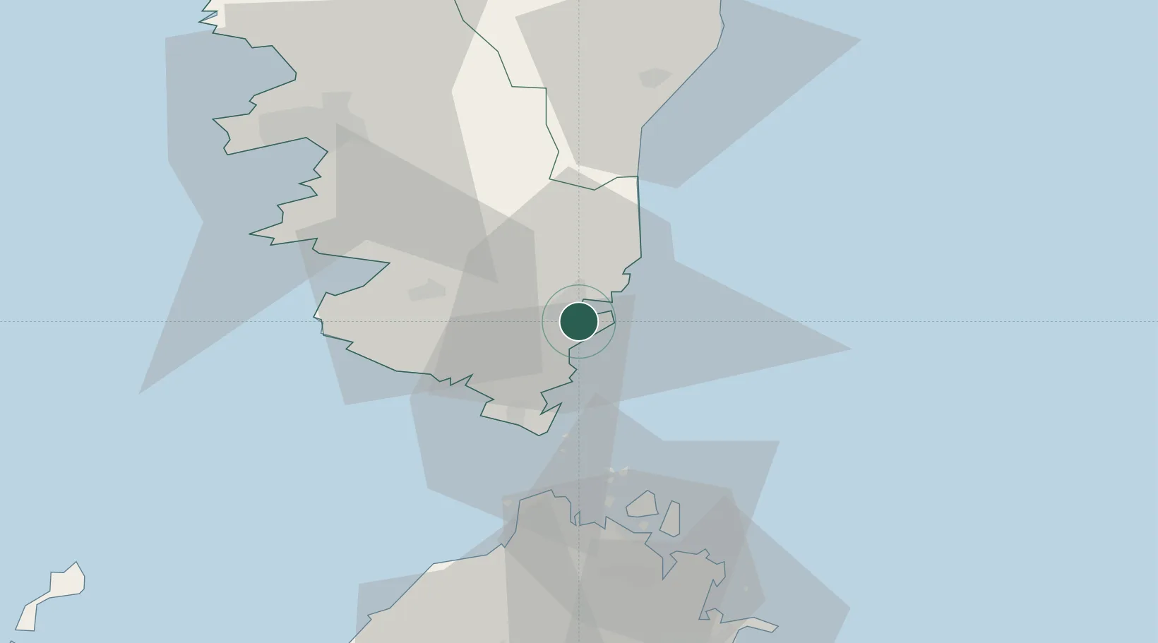
Nearby Logistics Neighbours

Cities
  1. 1Sainte-Lucie-de-Porto-Vecchio14 km
  2. 2Bonifacio24 km
  3. 3Capo Pertusato26 km
  4. 4Propriano34 km
  5. 5Casalabriva35 km
Nearest neighbours — logibook spatial index (haversine) over the source coordinates
Ports
  1. 1Bonifacio24 km
  2. 2Port De Propriano34 km
  3. 3Maddalena43 km
  4. 4Porto Cervo54 km
  5. 5Port D' Ajaccio58 km
Nearest neighbours — logibook spatial index (haversine) over the source coordinates
Airports
  1. 1Figari Sud-Corse Airport18 km
  2. 2Solenzara (BA 126) Air Base39 km
  3. 3Ajaccio Napoléon Bonaparte airport55 km
  4. 4Olbia Costa Smeralda Airport79 km
  5. 5Bastia-Poretta International airport109 km
Nearest neighbours — logibook spatial index (haversine) over the source coordinates
Trade Zones
  1. 1Sardinia Special Economic Zone Area113 km
  2. 2Free Zone of Portovesme277 km
  3. 3ZFU LAriane291 km
  4. 4ZFU Toulon324 km
  5. 5ZFU La Seyne-sur-Mer328 km
Nearest neighbours — logibook spatial index (haversine) over the source coordinates
DatabookThe Record of Consolidated Knowledge
France beyond logistics?
Browse databook

All Sources

LocationsUN/LOCODE
UN/LOCODE — free
LocationsGeoNames
CC BY 4.0
Portsthe NGA World Port Index
Public domain (US gov)
AirportsOurAirports
Public domain
Trade Zonesthe World Bank SEZ database
CC BY 4.0
Trade ZonesOpen Zone Map
CC BY
← France locations