UN/LOCODE hub · France
FRC2P

Capo Pertusato

41.3667°, 9.1833°
1
Transport functions

Transport Functions

Port
UN/LOCODE

Hub Profile

Region
2A
GeoNames

Location

Location of FRC2P
Natural Earth 10m (public domain) · 2A · FRC2P · 41.37, 9.18GoogleOSMYandex

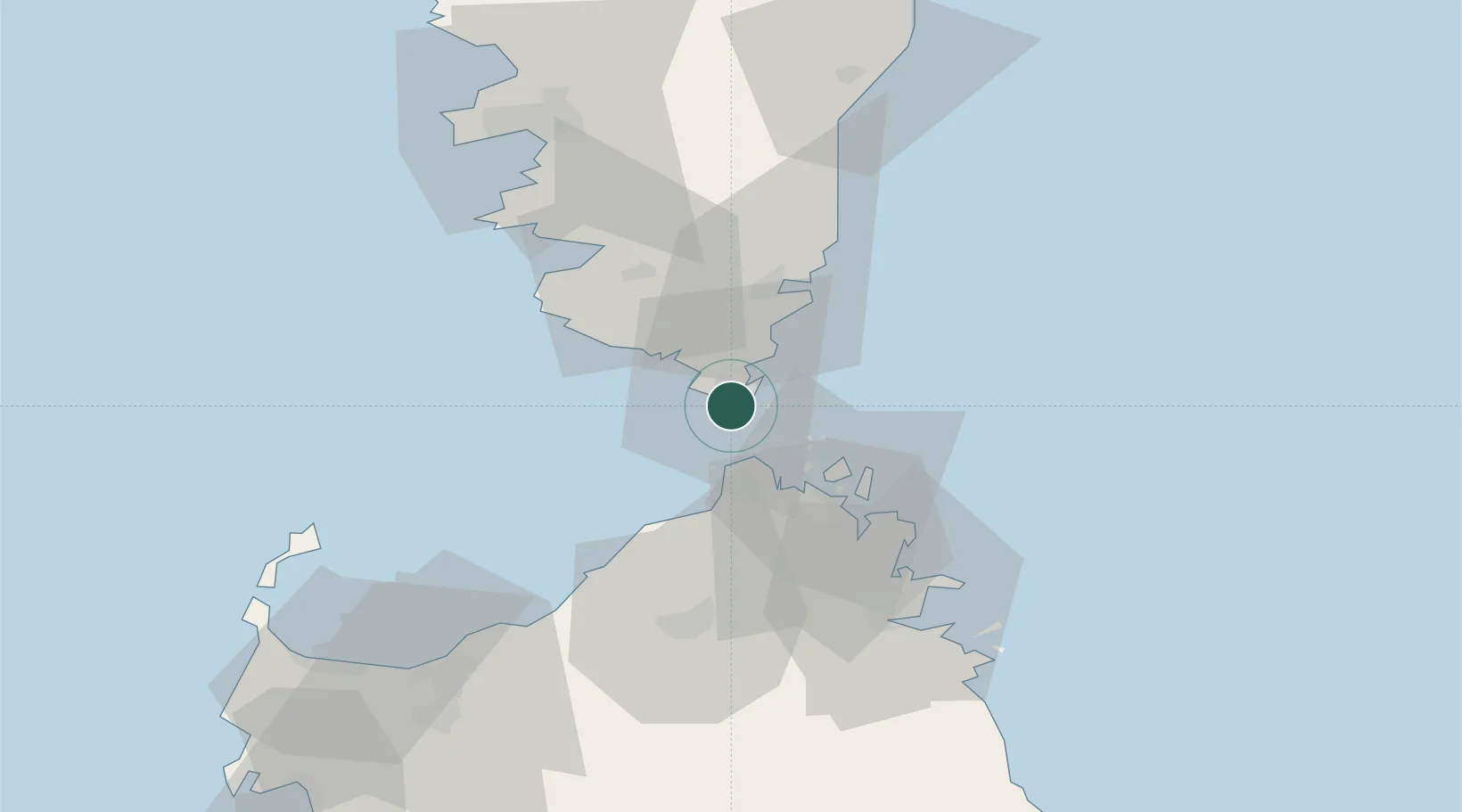
Nearby Logistics Neighbours

Cities
  1. 1Bonifacio2 km
  2. 2Santa Teresa di Gallura15 km
  3. 3La Maddalena25 km
  4. 4Porto-Vecchio26 km
  5. 5Sainte-Lucie-de-Porto-Vecchio40 km
Nearest neighbours — logibook spatial index (haversine) over the source coordinates
Ports
  1. 1Bonifacio2 km
  2. 2Maddalena26 km
  3. 3Porto Vecchio26 km
  4. 4Porto Cervo39 km
  5. 5Port De Propriano42 km
Nearest neighbours — logibook spatial index (haversine) over the source coordinates
Airports
  1. 1Figari Sud-Corse Airport17 km
  2. 2Olbia Costa Smeralda Airport59 km
  3. 3Solenzara (BA 126) Air Base65 km
  4. 4Ajaccio Napoléon Bonaparte airport70 km
  5. 5Alghero-Fertilia Airport111 km
Nearest neighbours — logibook spatial index (haversine) over the source coordinates
Trade Zones
  1. 1Sardinia Special Economic Zone Area88 km
  2. 2Free Zone of Portovesme251 km
  3. 3ZFU LAriane307 km
  4. 4ZFU Toulon331 km
  5. 5ZFU La Seyne-sur-Mer335 km
Nearest neighbours — logibook spatial index (haversine) over the source coordinates
DatabookThe Record of Consolidated Knowledge
France beyond logistics?
Browse databook

All Sources

LocationsUN/LOCODE
UN/LOCODE — free
Portsthe NGA World Port Index
Public domain (US gov)
AirportsOurAirports
Public domain
Trade Zonesthe World Bank SEZ database
CC BY 4.0
Trade ZonesOpen Zone Map
CC BY
← France locations