Transport Functions
Rail
Road
Multimodal
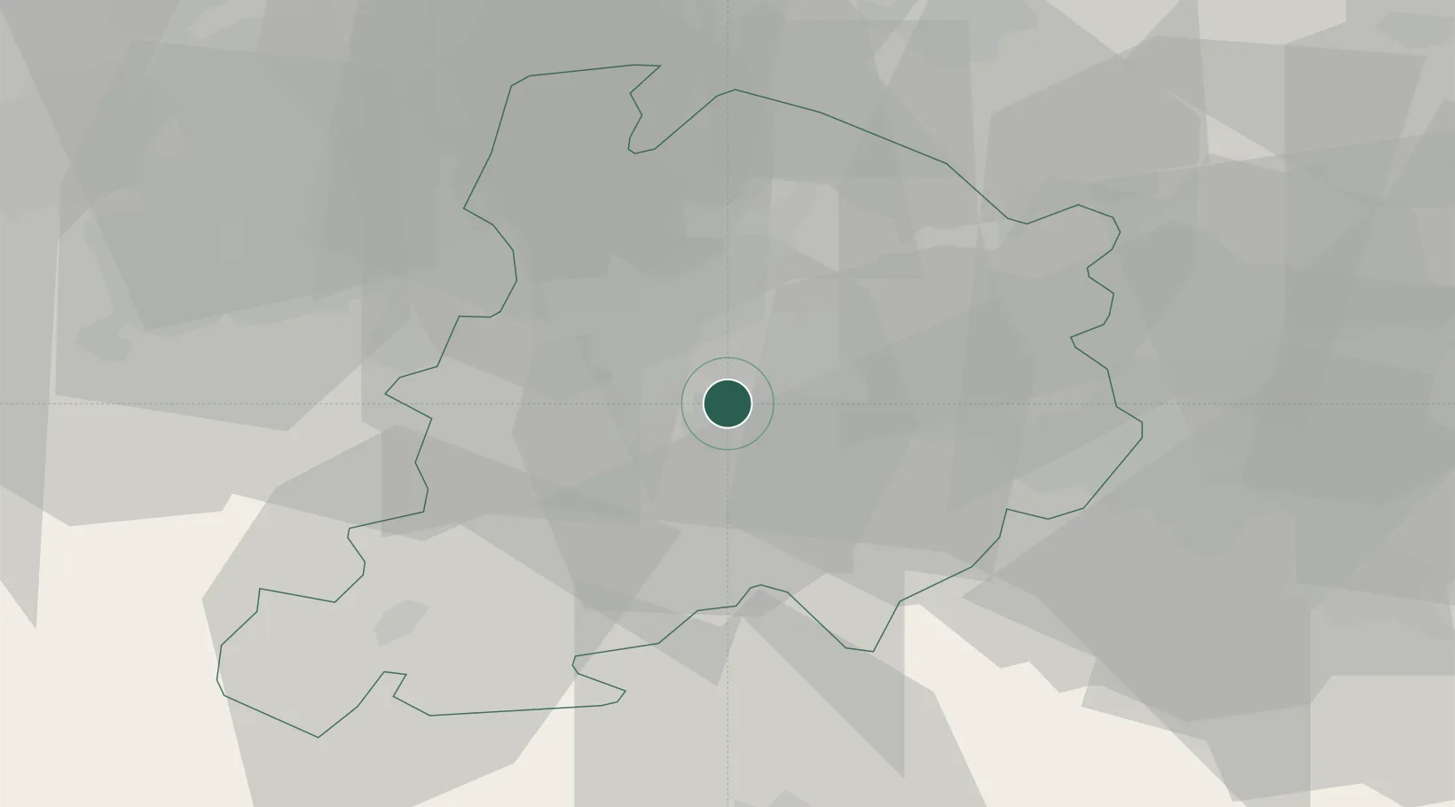
Location
Nearby Logistics Neighbours
Cities
- 1Bologna8 km
- 2Cadriano11 km
- 3Budrio17 km
- 4Marzabotto17 km
- 5Molinella21 km
Ports
- 1Porto Di Corsini74 km
- 2Porto Garibaldi75 km
- 3Cesenatico87 km
- 4Rimini104 km
- 5Viareggio111 km
Airports
Trade Zones
- 1Consorzio Zona Industriale e Porto Fluviale di Padova115 km
- 2Free Port of Venice134 km
- 3Port of Pula Free Zone201 km
- 4Free Port of Trieste231 km
- 5Port of Rijeka Free Zone244 km
DatabookThe Record of Consolidated Knowledge
Italy beyond logistics?