Transport Functions
Multimodal
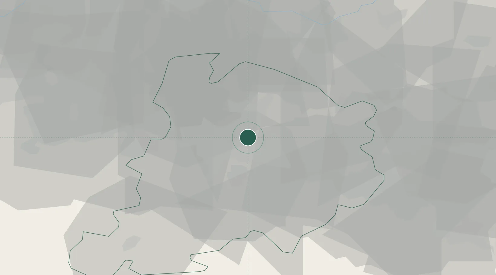
Hub Profile
Place type
Populated place
Region
Emilia-Romagna
Population
901
Time zone
Europe/Rome
Elevation
31 m
Location
Nearby Logistics Neighbours
Cities
- 1Bologna5 km
- 2Molinella10 km
- 3Bentivoglio11 km
- 4Ca de Fabbri11 km
- 5Rastignano11 km
Ports
- 1Porto Garibaldi71 km
- 2Porto Di Corsini72 km
- 3Cesenatico89 km
- 4Porto Di Chioggia106 km
- 5Rimini107 km
Airports
Trade Zones
- 1Consorzio Zona Industriale e Porto Fluviale di Padova104 km
- 2Free Port of Venice124 km
- 3Port of Pula Free Zone197 km
- 4Free Port of Trieste223 km
- 5Port of Rijeka Free Zone238 km
DatabookThe Record of Consolidated Knowledge
Italy beyond logistics?