Transport Functions
Rail
Road
Airport
Postal
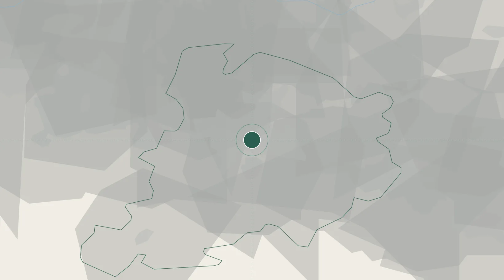
Hub Profile
Place type
Regional capital
Region
Emilia-Romagna
Population
394,843
Time zone
Europe/Rome
Elevation
54 m
Location
Nearby Logistics Neighbours
Cities
- 1Cadriano5 km
- 2Rastignano8 km
- 3Molinella13 km
- 4Bentivoglio14 km
- 5Budrio15 km
Ports
- 1Porto Garibaldi74 km
- 2Porto Di Corsini75 km
- 3Cesenatico90 km
- 4Rimini108 km
- 5Porto Di Chioggia111 km
Airports
Trade Zones
DatabookThe Record of Consolidated Knowledge
Italy beyond logistics?