Transport Functions
Rail
Road
Hub Profile
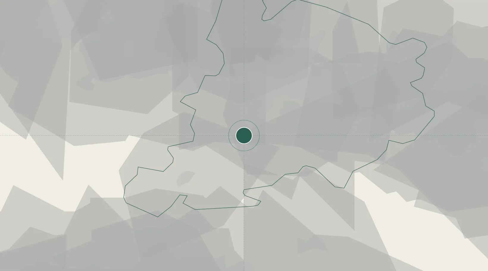
Place type
District seat
Region
Emilia-Romagna
Population
1,698
Time zone
Europe/Rome
Elevation
130 m
Location
Nearby Logistics Neighbours
Cities
- 1Riola13 km
- 2Castello di Serravalle17 km
- 3Rastignano17 km
- 4Zocca17 km
- 5Bologna22 km
Ports
- 1Porto Di Corsini89 km
- 2Porto Garibaldi92 km
- 3Viareggio93 km
- 4Cesenatico97 km
- 5Marina Di Carrara98 km
Airports
Trade Zones
DatabookThe Record of Consolidated Knowledge
Italy beyond logistics?