Medium airport · Italy
Parma AirportLIMP
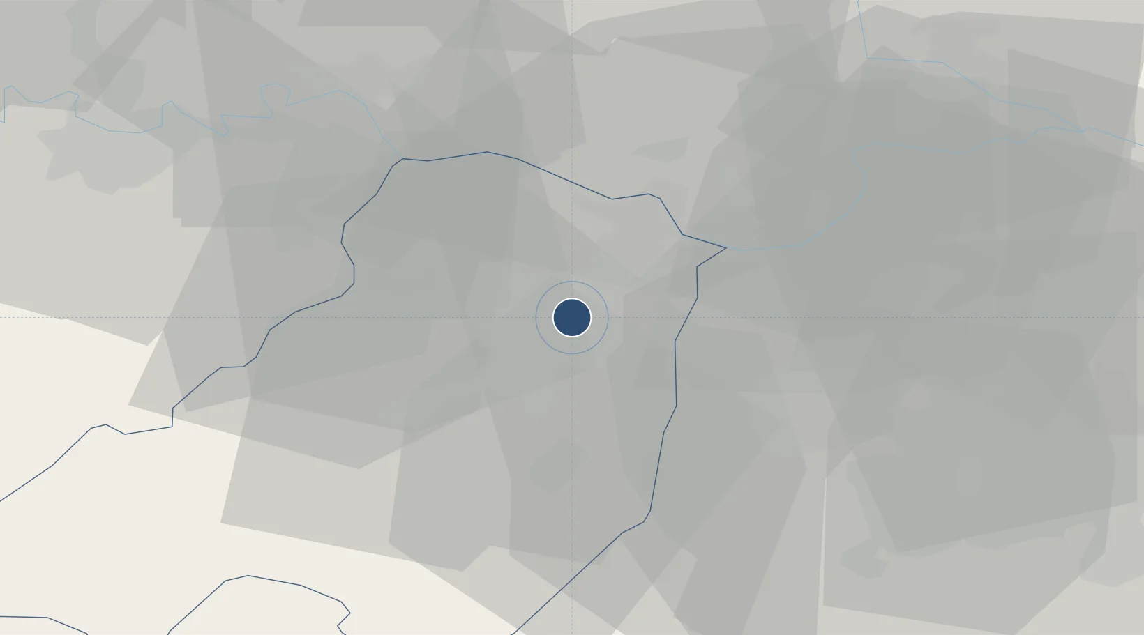
44.8264°, 10.2971°
6,962 ft
Longest runway
1
Runways
161 ft
Elevation
Runway & Layout

Radio Frequencies
TWR
118.45 MHz
APP
126.55 MHz
Navaids
PAR NDB Parma 306 kHz
Runways · 1
| Runway | Dimensions | Surface | True heading | Lit |
|---|---|---|---|---|
| 02/20 | 6,962 × 148ft | Asphalt | 017° | ✓ |
Airport Specifications
IATA code
PMF
ICAO code
LIMP
Airport class
Medium airport
Scheduled service
Yes
Runway surface
Asphalt
Served city
Parma (PR)
Location
Nearby Logistics Neighbours
Airports
Cities
- 1San Pancrazio Parmense4 km
- 2Paradigna4 km
- 3Castelguelfo5 km
- 4Viarolo6 km
- 5Fontanini9 km
Ports
- 1La Spezia89 km
- 2Marina Di Carrara91 km
- 3Chiavari - Lavagna96 km
- 4Viareggio107 km
- 5Genova119 km
Trade Zones
- 1Consorzio Zona Industriale e Porto Fluviale di Padova142 km
- 2Magazzini Generali Con Chiasso155 km
- 3Free Port of Venice172 km
- 4Livigno Free Trade Zone190 km
- 5ZFU LAriane268 km
DatabookThe Record of Consolidated Knowledge
Italy beyond logistics?