Transport Functions
Rail
Road
Hub Profile
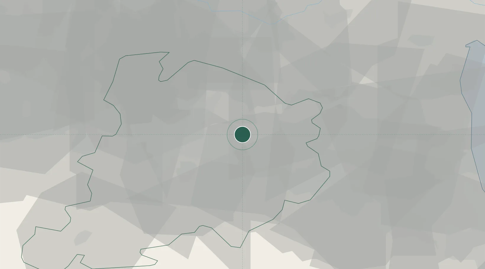
Place type
District seat
Region
Emilia-Romagna
Population
8,941
Time zone
Europe/Rome
Elevation
25 m
Location
Nearby Logistics Neighbours
Cities
- 1Ca de Fabbri11 km
- 2Cadriano12 km
- 3Bologna15 km
- 4Bentivoglio16 km
- 5Rastignano17 km
Ports
- 1Porto Garibaldi59 km
- 2Porto Di Corsini60 km
- 3Cesenatico78 km
- 4Rimini97 km
- 5Porto Di Chioggia99 km
Airports
Trade Zones
- 1Consorzio Zona Industriale e Porto Fluviale di Padova100 km
- 2Free Port of Venice117 km
- 3Port of Pula Free Zone186 km
- 4Free Port of Trieste214 km
- 5Port of Rijeka Free Zone227 km
DatabookThe Record of Consolidated Knowledge
Italy beyond logistics?