Channel & Berth Profile
Facilities & Capabilities
Container—
Ro-Ro—
Liquid bulk—
Dry bulk—
Oil terminal—
Break bulk—
Dry dock—
Repairs—
Bunkering—
Rail link—
Dangerous cargo—
ISPS security—
Harbour Specifications
Harbour size
Small
Water body
Ligurian Sea; Mediterranean Sea; North Atlantic Ocean
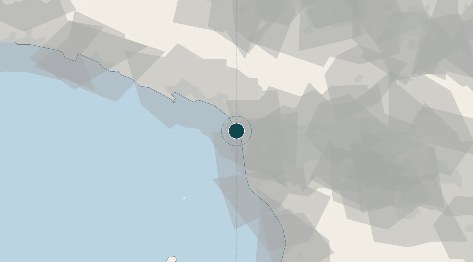
Location
Nearby Logistics Neighbours
Ports
- 1Marina Di Carrara24 km
- 2Livorno36 km
- 3La Spezia42 km
- 4Vada60 km
- 5Chiavari - Lavagna88 km
Cities
- 1Forte dei Marmi11 km
- 2Pescaglia19 km
- 3Marina di Massa19 km
- 4Massa21 km
- 5Marina di Pisa22 km
Airports
- 1Pisa International Airport24 km
- 2Sarzana-Luni Air Base32 km
- 3Florence Airport, Peretola78 km
- 4Siena-Ampugnano Airport106 km
- 5Parma Airport107 km
Trade Zones
- 1Consorzio Zona Industriale e Porto Fluviale di Padova216 km
- 2ZFU LAriane237 km
- 3Free Port of Venice240 km
- 4Magazzini Generali Con Chiasso243 km
- 5Livigno Free Trade Zone297 km
DatabookThe Record of Consolidated Knowledge
Italy beyond logistics?