Transport Functions
Multimodal
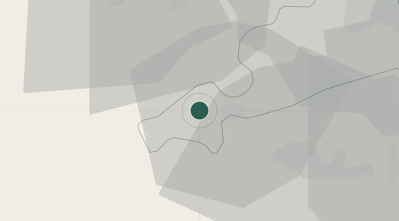
Hub Profile
Place type
District seat
Region
The Marches
Population
1,871
Time zone
Europe/Rome
Elevation
500 m
Location
Nearby Logistics Neighbours
Cities
- 1Sarnano7 km
- 2Castignano22 km
- 3Carassai26 km
- 4San Severino Marche30 km
- 5Pollenza32 km
Ports
- 1San Benedetto Del Tronto44 km
- 2Civitanova Marche48 km
- 3Giulianova57 km
- 4Ancona73 km
- 5Senigallia83 km
Airports
- 1Perugia San Francesco d'Assisi – Umbria International Airport69 km
- 2Marche Airport70 km
- 3Abruzzo Airport92 km
- 4Guidonia Air Base121 km
- 5Viterbo Airport122 km
Trade Zones
DatabookThe Record of Consolidated Knowledge
Italy beyond logistics?