Seaport · Italy

Sant'AntiocoITSAT

39.0660°, 8.4600°

Channel & Berth Profile

NGA World Port Index

Facilities & Capabilities

Container
Ro-Ro
Liquid bulk
Dry bulk
Oil terminal
Break bulk
Dry dock
Repairs
Bunkering
Rail link
Dangerous cargo
ISPS security
NGA World Port Index

Harbour Specifications

Harbour size
Small
NGA World Port Index
Water body
Mediterranean Sea; North Atlantic Ocean
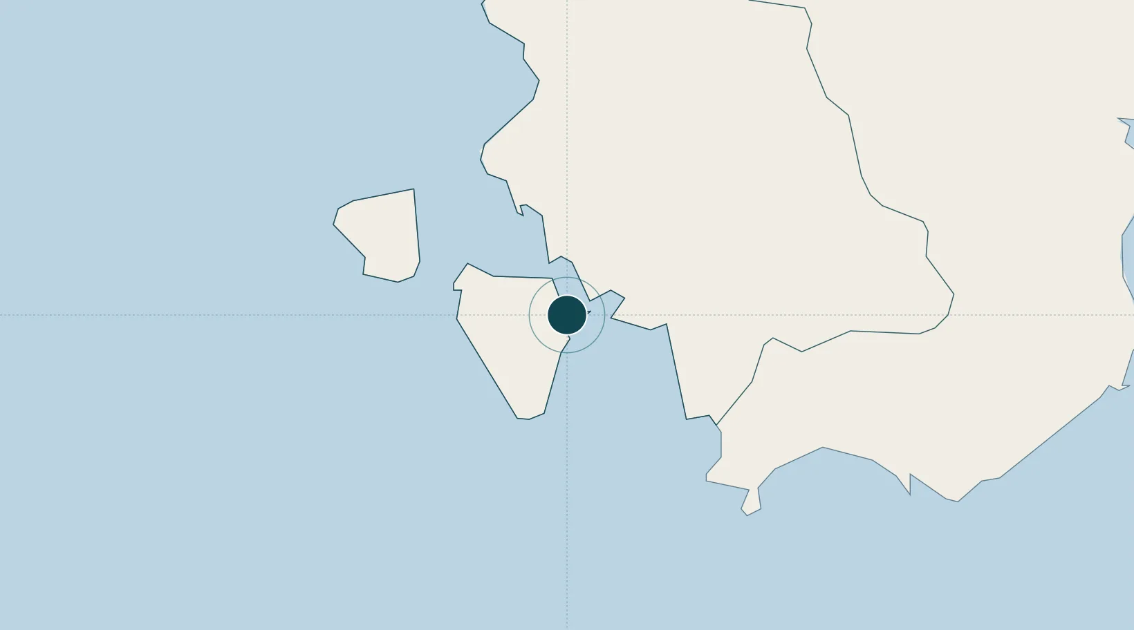
NGA World Port Index

Location

Location of ITSAT
Natural Earth 10m (public domain) · Carbonia-Iglesias · ITSAT · 39.07, 8.46GoogleOSMYandex

Nearby Logistics Neighbours

Ports
  1. 1Porto Ponte Romano2 km
  2. 2Carloforte15 km
  3. 3Porto Vesme16 km
  4. 4Sarroch Oil Terminal50 km
  5. 5Cagliari57 km
Nearest neighbours — logibook spatial index (haversine) over the source coordinates
Cities
  1. 1Sant'Antioco1 km
  2. 2Calasetta8 km
  3. 3Portoscuso (Porto Vesme)16 km
  4. 4Piscinas16 km
  5. 5Carloforte17 km
Nearest neighbours — logibook spatial index (haversine) over the source coordinates
Airports
  1. 1Decimomannu Air Base55 km
  2. 2Cagliari Elmas Airport55 km
  3. 3Tortolì Airport141 km
  4. 4Alghero-Fertilia Airport175 km
  5. 5Olbia Costa Smeralda Airport223 km
Nearest neighbours — logibook spatial index (haversine) over the source coordinates
Trade Zones
  1. 1Free Zone of Portovesme14 km
  2. 2Sardinia Special Economic Zone Area175 km
  3. 3Bizerte Park of Economic Activities235 km
  4. 4Campania Special Economic Zone (Naples and Salerno)481 km
  5. 5ZFU La Seyne-sur-Mer498 km
Nearest neighbours — logibook spatial index (haversine) over the source coordinates
DatabookThe Record of Consolidated Knowledge
Italy beyond logistics?
Browse databook

All Sources

Portsthe NGA World Port Index
Public domain (US gov)
AirportsOurAirports
Public domain
LocationsUN/LOCODE
UN/LOCODE — free
Trade Zonesthe World Bank SEZ database
CC BY 4.0
Trade ZonesOpen Zone Map
CC BY
← Italy ports