Seaport · Italy
CagliariITCAG
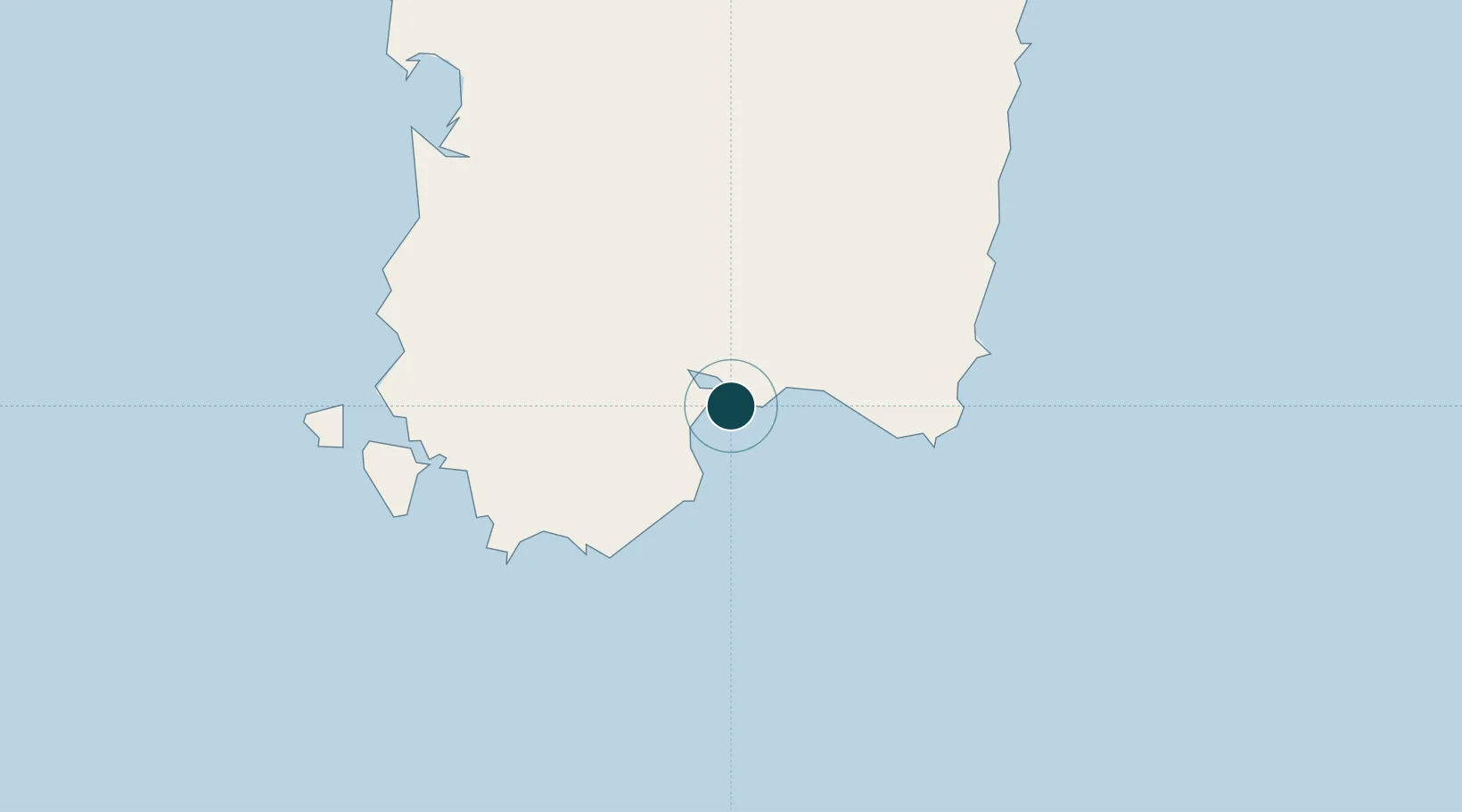
39.1900°, 9.1020°
14.0 m
Channel depth
2
Container terminals
32.5
Port liner connectivity
Channel & Berth Profile
Pilotage, Tugs & Services
Pilotage compulsoryYES
Pilotage availableYES
Pilotage advisableYES
Tug assistanceYES
Potable waterYES
Diesel bunkersYES
MedicalYES
Garbage disposalYES
Facilities & Capabilities
Container—
Ro-Ro—
Liquid bulk—
Dry bulk—
Oil terminal—
Break bulk—
Dry dock—
RepairsNO
BunkeringYES
Rail linkYES
Dangerous cargo—
ISPS security—
Harbour Specifications
Harbour size
Medium
Harbour type
Coastal (Breakwater)
Shelter
Good
Water body
Mediterranean Sea; North Atlantic Ocean
Tidal range
1 m
Pilotage
Yes
Liner Connectivity
32.5
PLSCI
Port Liner Shipping Connectivity Index for Cagliari, as published by UNCTAD for the latest available quarter. Higher values indicate stronger scheduled liner-shipping integration.
Shown relative to the highest per-port PLSCI in the dataset (1,657.9).
Location
Container Terminals · 2
CICT CAGLIARI INTERNATIONAL CONTAINER TERMINAL
CICT CICT CAGLIARI INTERNATIONAL CONTAINER TERMINAL S.P.A.
GRENDI TERMINAL CAGLIARI
GREN GRUPPO GRENDI
Nearby Logistics Neighbours
Ports
- 1Sarroch Oil Terminal13 km
- 2Porto Ponte Romano57 km
- 3Sant'Antioco57 km
- 4Porto Vesme62 km
- 5Carloforte68 km
Cities
- 1Selargius9 km
- 2Elmas10 km
- 3Uta17 km
- 4Porto Foxi (Sarroch)18 km
- 5Villaspeciosa20 km
Airports
- 1Cagliari Elmas Airport8 km
- 2Decimomannu Air Base21 km
- 3Tortolì Airport95 km
- 4Alghero-Fertilia Airport175 km
- 5Olbia Costa Smeralda Airport193 km
Trade Zones
DatabookThe Record of Consolidated Knowledge
Italy beyond logistics?