Transport Functions
Rail
Road
Hub Profile
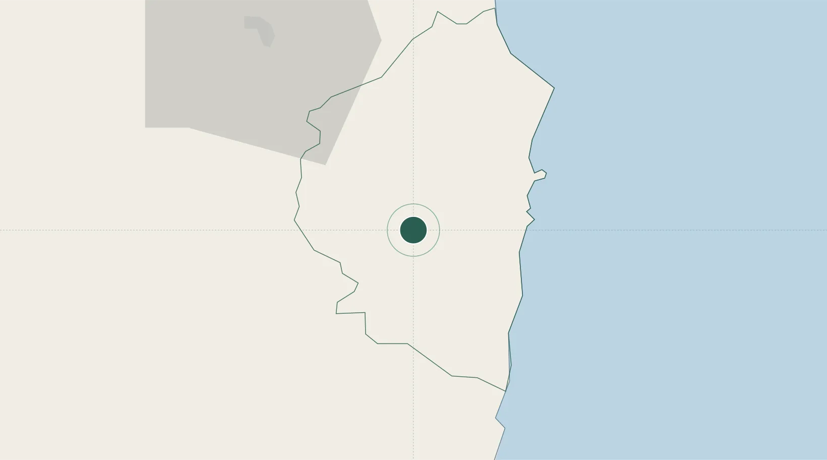
Place type
District seat
Region
Sardinia
Population
781
Time zone
Europe/Rome
Elevation
645 m
Location
Nearby Logistics Neighbours
Cities
- 1Arbatax22 km
- 2Santa Maria Navarrese24 km
- 3Cala Gonone53 km
- 4Nuoro55 km
- 5Orosei64 km
Ports
- 1Arbatax22 km
- 2Cagliari79 km
- 3Porto Di Oristano80 km
- 4Sarroch Oil Terminal92 km
- 5Porto Vesme118 km
Airports
- 1Tortolì Airport20 km
- 2Decimomannu Air Base69 km
- 3Cagliari Elmas Airport74 km
- 4Olbia Costa Smeralda Airport119 km
- 5Alghero-Fertilia Airport135 km
Trade Zones
DatabookThe Record of Consolidated Knowledge
Italy beyond logistics?