UN/LOCODE hub · Italy
ITZUQ
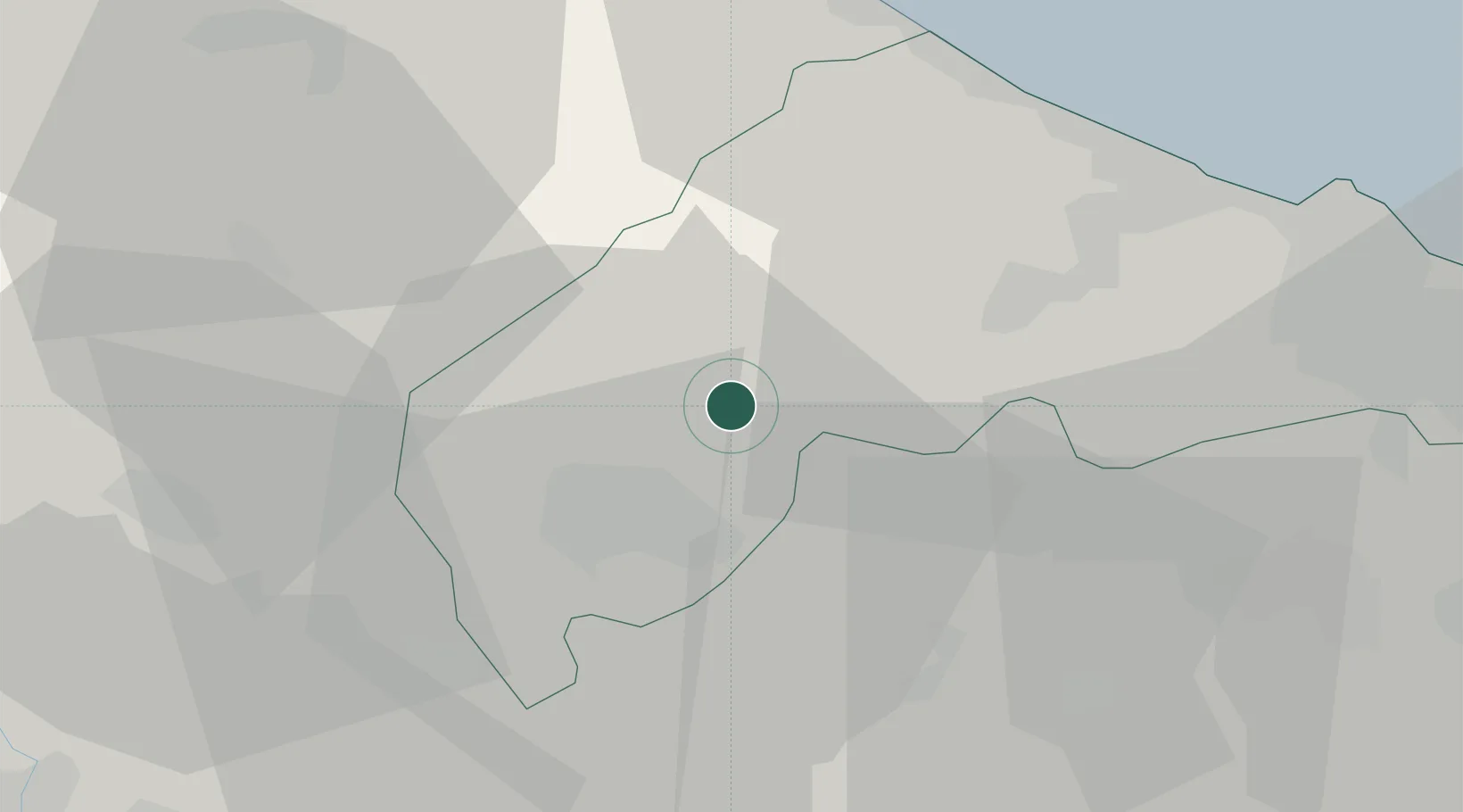
Serra San Quirico
43.4500°, 13.0167°
1,780
Population
1
Transport functions
Transport Functions
Multimodal
Hub Profile
Place type
District seat
Region
The Marches
Population
1,780
Time zone
Europe/Rome
Elevation
300 m
Location
Nearby Logistics Neighbours
Cities
- 1Castelplanio6 km
- 2Maiolati Spontini7 km
- 3Genga7 km
- 4Moie10 km
- 5Sassoferrato14 km
Ports
- 1Senigallia35 km
- 2Ancona43 km
- 3Fano45 km
- 4Pesaro54 km
- 5Civitanova Marche60 km
Airports
Trade Zones
- 1Abruzzo Special Economic Zone132 km
- 2Port of Pula Free Zone170 km
- 3Ionian Special Economic Zone209 km
- 4Port of Rijeka Free Zone218 km
- 5Free Port of Venice227 km
DatabookThe Record of Consolidated Knowledge
Italy beyond logistics?