Transport Functions
Multimodal
Hub Profile
Place type
District seat
Region
The Marches
Population
108
Time zone
Europe/Rome
Elevation
322 m
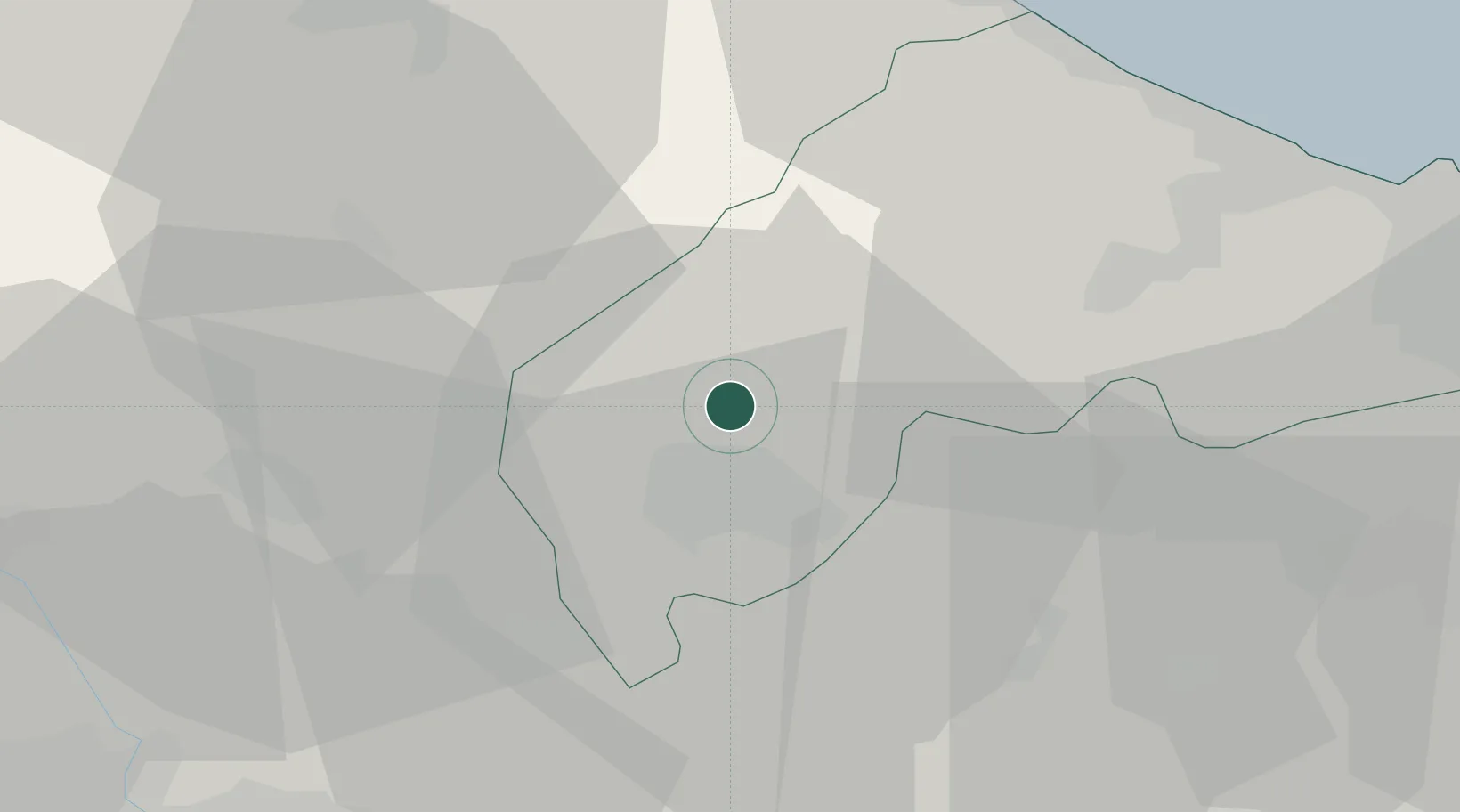
Location
Nearby Logistics Neighbours
Cities
- 1Serra San Quirico7 km
- 2Sassoferrato7 km
- 3Castelplanio12 km
- 4Cerreto d'Esi14 km
- 5Maiolati Spontini14 km
Ports
- 1Senigallia40 km
- 2Fano48 km
- 3Ancona50 km
- 4Pesaro55 km
- 5Civitanova Marche66 km
Airports
Trade Zones
- 1Abruzzo Special Economic Zone132 km
- 2Port of Pula Free Zone175 km
- 3Ionian Special Economic Zone210 km
- 4Port of Rijeka Free Zone222 km
- 5Free Port of Venice228 km
DatabookThe Record of Consolidated Knowledge
Italy beyond logistics?