Transport Functions
Rail
Road
Hub Profile
Place type
Populated place
Region
The Marches
Population
6,154
Time zone
Europe/Rome
Elevation
57 m
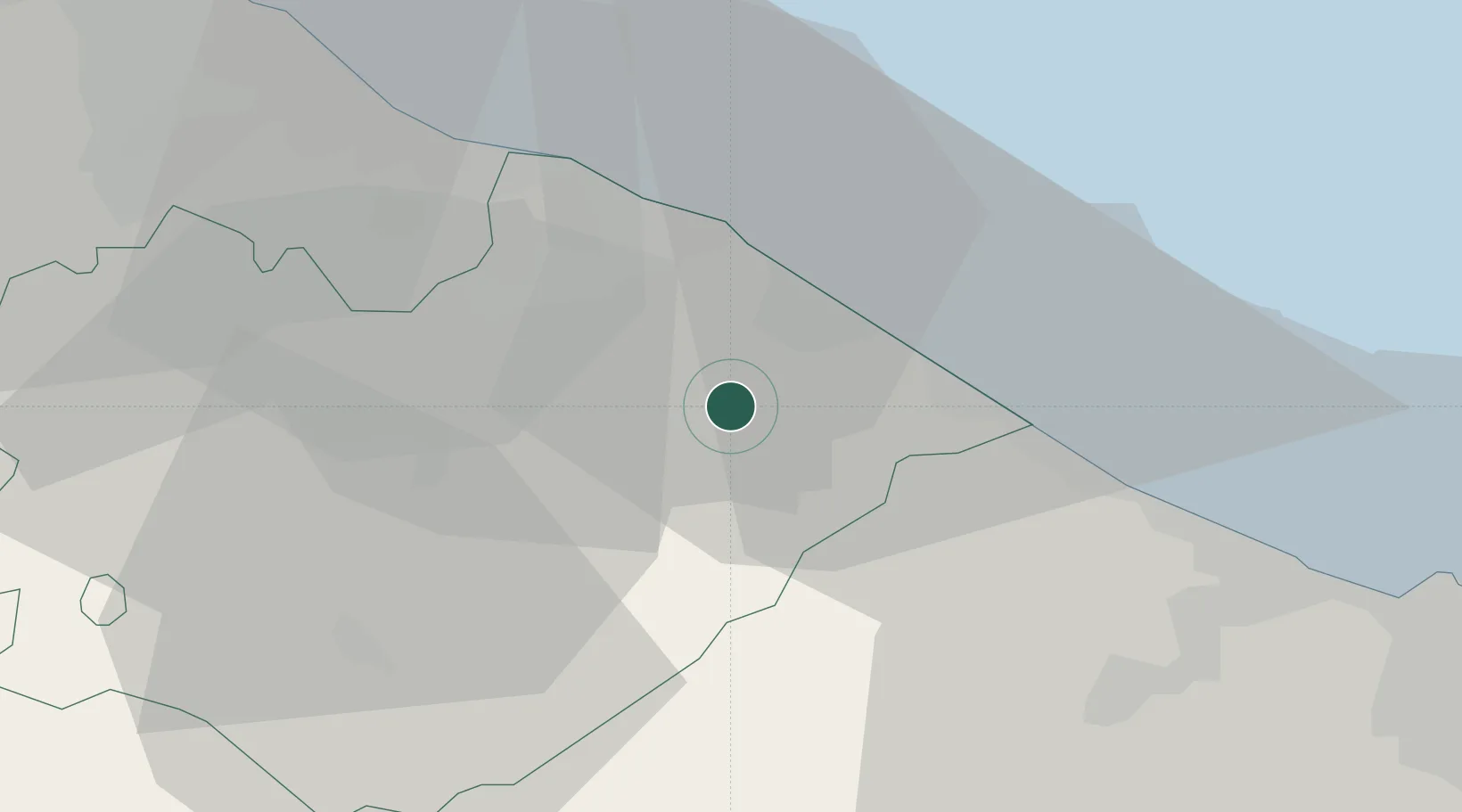
Location
Nearby Logistics Neighbours
Cities
- 1Colli al Metauro4 km
- 2Fano10 km
- 3Vallefoglia12 km
- 4Fossombrone14 km
- 5Pesaro15 km
Ports
- 1Fano12 km
- 2Pesaro18 km
- 3Senigallia24 km
- 4Rimini45 km
- 5Ancona48 km
Airports
Trade Zones
DatabookThe Record of Consolidated Knowledge
Italy beyond logistics?