UN/LOCODE hub · Italy
ITACB

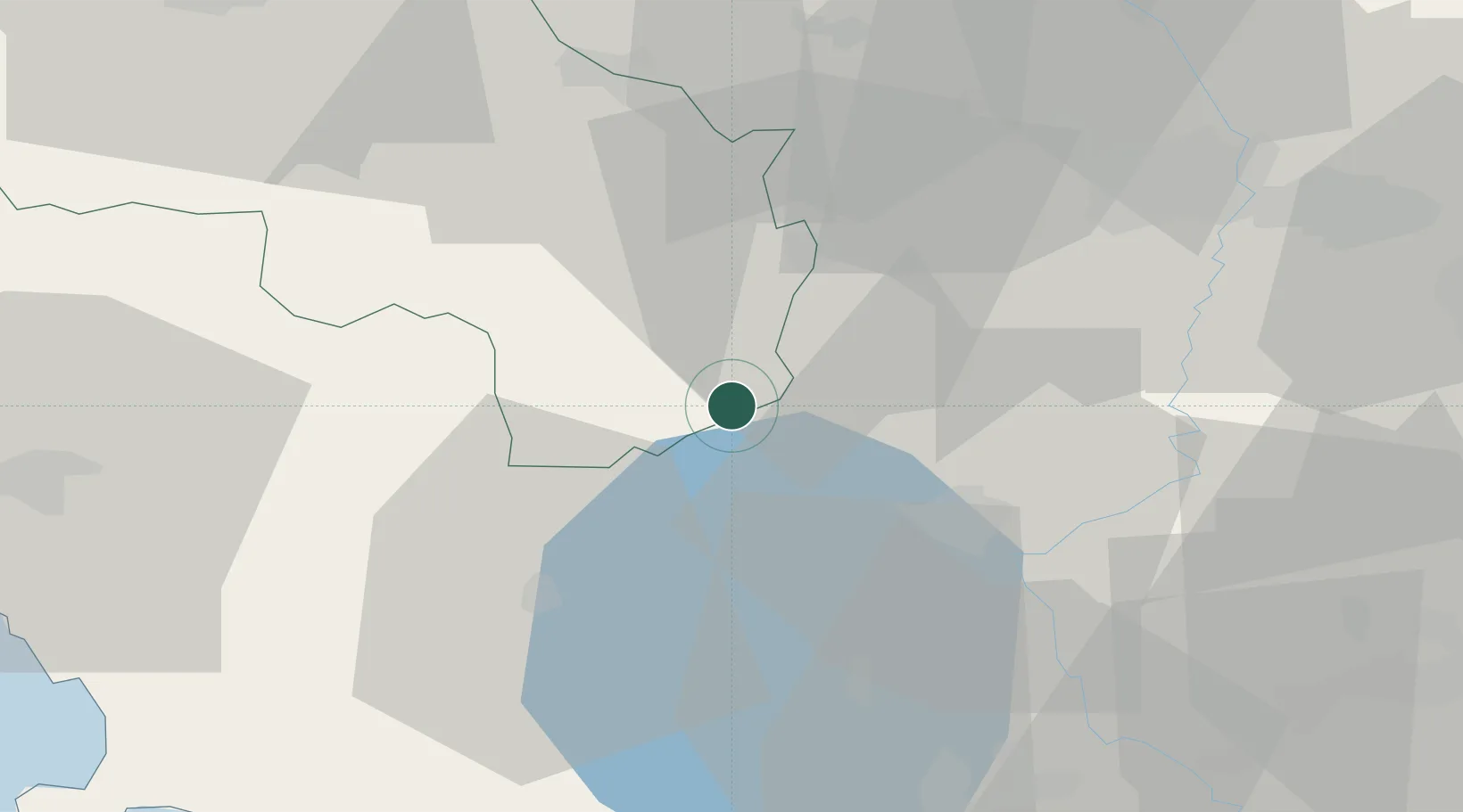
San Casciano dei Bagni

42.8667°, 11.8833°
530
Population
2
Transport functions

Transport Functions

Rail
Road
UN/LOCODE

Hub Profile

Place type
District seat
GeoNames
Region
Tuscany
GeoNames
Population
530
GeoNames
Time zone
Europe/Rome
GeoNames
Elevation
582 m
GeoNames

Location

Location of ITACB
Natural Earth 10m (public domain) · Tuscany · ITACB · 42.87, 11.88GoogleOSMYandex

Nearby Logistics Neighbours

Cities
  1. 1Radicofani10 km
  2. 2Castel Viscardo16 km
  3. 3Chiusi18 km
  4. 4Pozzuolo28 km
  5. 5San Quirico d'Orcia31 km
Nearest neighbours — logibook spatial index (haversine) over the source coordinates
Ports
  1. 1Porto Ercole75 km
  2. 2Porto Santo Stefano78 km
  3. 3Civitavecchia86 km
  4. 4Giglio Porto97 km
  5. 5Portovecchio Di Piombino108 km
Nearest neighbours — logibook spatial index (haversine) over the source coordinates
Airports
  1. 1Viterbo Airport51 km
  2. 2Perugia San Francesco d'Assisi – Umbria International Airport57 km
  3. 3Siena-Ampugnano Airport67 km
  4. 4Grosseto Corrado Baccarini Air Base / Grosseto Airport67 km
  5. 5Rome Urbe Airport114 km
Nearest neighbours — logibook spatial index (haversine) over the source coordinates
Trade Zones
  1. 1Abruzzo Special Economic Zone136 km
  2. 2Ionian Special Economic Zone215 km
  3. 3Port of Pula Free Zone272 km
  4. 4Campania Special Economic Zone (Naples and Salerno)278 km
  5. 5Consorzio Zona Industriale e Porto Fluviale di Padova281 km
Nearest neighbours — logibook spatial index (haversine) over the source coordinates
DatabookThe Record of Consolidated Knowledge
Italy beyond logistics?
Browse databook

All Sources

LocationsUN/LOCODE
UN/LOCODE — free
LocationsGeoNames
CC BY 4.0
Portsthe NGA World Port Index
Public domain (US gov)
AirportsOurAirports
Public domain
Trade Zonesthe World Bank SEZ database
CC BY 4.0
Trade ZonesOpen Zone Map
CC BY
← Italy locations