Transport Functions
Multimodal
Hub Profile
Place type
District seat
Region
Umbria
Population
962
Time zone
Europe/Rome
Elevation
209 m
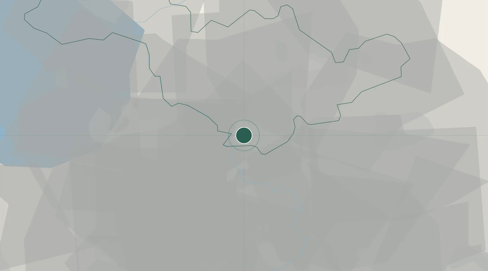
Location
Nearby Logistics Neighbours
Cities
- 1Magliano Sabina6 km
- 2Calvi dell'Umbria7 km
- 3Narni12 km
- 4Corchiano14 km
- 5Attigliano20 km
Ports
- 1Civitavecchia68 km
- 2Fiumicino75 km
- 3Porto Ercole104 km
- 4Anzio - Nettuno109 km
- 5Porto Santo Stefano112 km
Airports
Trade Zones
DatabookThe Record of Consolidated Knowledge
Italy beyond logistics?