Transport Functions
Port
Road
Hub Profile
Place type
Populated place
Region
Liguria
Time zone
Europe/Rome
Elevation
17 m
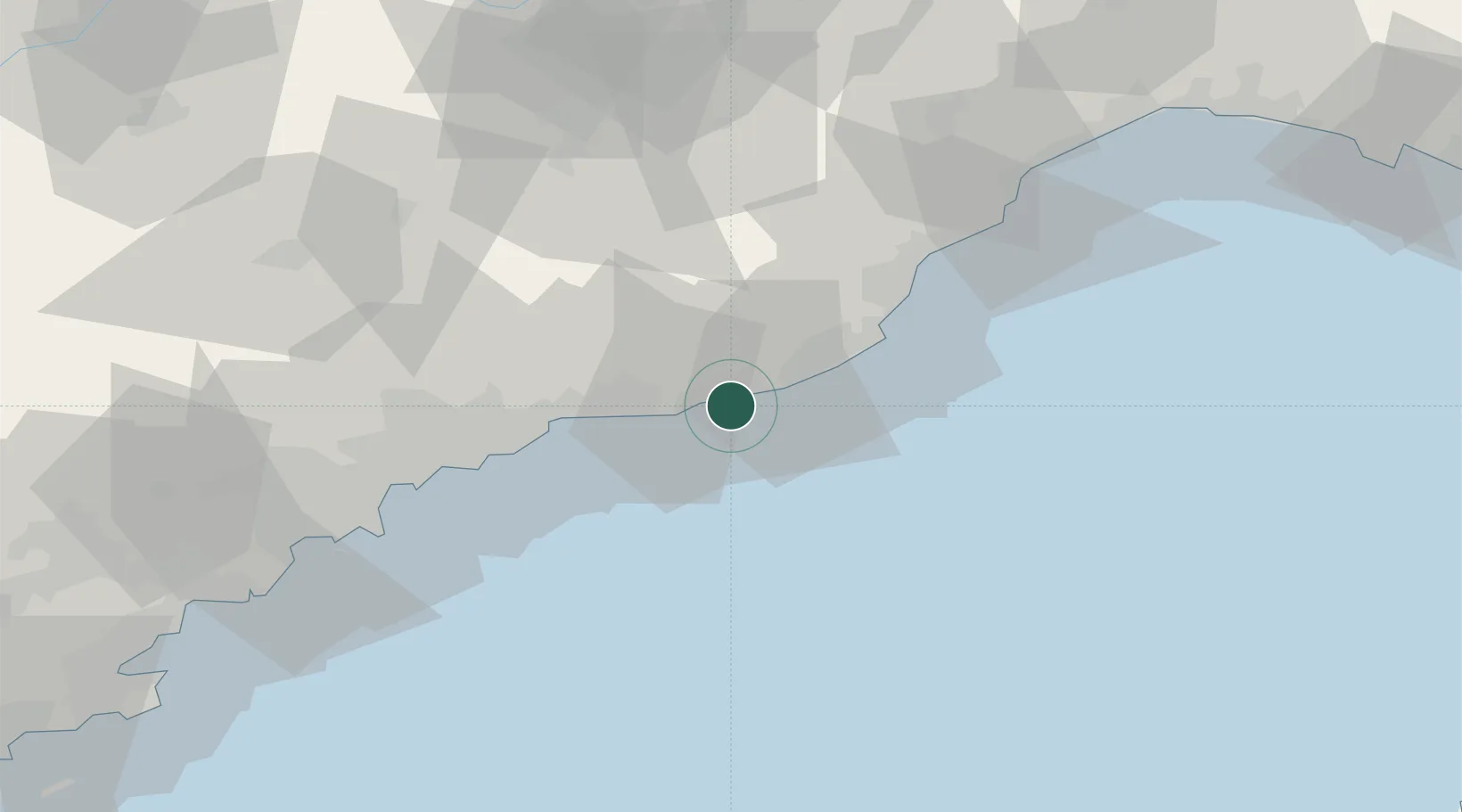
Location
Nearby Logistics Neighbours
Cities
- 1Santo Stefano al Mare3 km
- 2Badalucco11 km
- 3Bordighera16 km
- 4San Biagio della Cima16 km
- 5Imperia18 km
Ports
- 1San Remo5 km
- 2Imperia17 km
- 3Monaco36 km
- 4Villefranche45 km
- 5Nice47 km
Airports
Trade Zones
- 1ZFU LAriane46 km
- 2ZFU Toulon173 km
- 3ZFU La Seyne-sur-Mer181 km
- 4ZFU Marseille 15e et 16e207 km
- 5ZFU Saint-Barthélémy, Le Canet, Delorme-Paternelle219 km
DatabookThe Record of Consolidated Knowledge
Italy beyond logistics?