UN/LOCODE hub · Italy
ITBDC

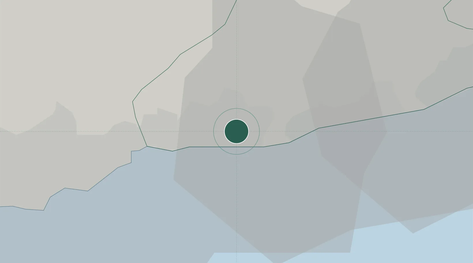
San Biagio della Cima

43.8167°, 7.6500°
913
Population
1
Transport functions

Transport Functions

Multimodal
UN/LOCODE

Hub Profile

Place type
District seat
GeoNames
Region
Liguria
GeoNames
Population
913
GeoNames
Time zone
Europe/Rome
GeoNames
Elevation
100 m
GeoNames

Location

Location of ITBDC
Natural Earth 10m (public domain) · Liguria · ITBDC · 43.82, 7.65GoogleOSMYandex

Nearby Logistics Neighbours

Cities
  1. 1Bevera5 km
  2. 2Ventimiglia6 km
  3. 3Bordighera6 km
  4. 4Arma di Taggia16 km
  5. 5Gorbio17 km
Nearest neighbours — logibook spatial index (haversine) over the source coordinates
Ports
  1. 1San Remo11 km
  2. 2Monaco21 km
  3. 3Villefranche30 km
  4. 4Imperia32 km
  5. 5Nice32 km
Nearest neighbours — logibook spatial index (haversine) over the source coordinates
Airports
  1. 1Monaco Heliport21 km
  2. 2Nice-Côte d'Azur Airport39 km
  3. 3Riviera Villanova d'Albenga International Airport46 km
  4. 4Cannes Croisette Heliport58 km
  5. 5Cannes Mandelieu Airport63 km
Nearest neighbours — logibook spatial index (haversine) over the source coordinates
Trade Zones
  1. 1ZFU LAriane30 km
  2. 2ZFU Toulon158 km
  3. 3ZFU La Seyne-sur-Mer167 km
  4. 4ZFU Marseille 15e et 16e192 km
  5. 5ZFU Saint-Barthélémy, Le Canet, Delorme-Paternelle203 km
Nearest neighbours — logibook spatial index (haversine) over the source coordinates
DatabookThe Record of Consolidated Knowledge
Italy beyond logistics?
Browse databook

All Sources

LocationsUN/LOCODE
UN/LOCODE — free
LocationsGeoNames
CC BY 4.0
Portsthe NGA World Port Index
Public domain (US gov)
AirportsOurAirports
Public domain
Trade Zonesthe World Bank SEZ database
CC BY 4.0
Trade ZonesOpen Zone Map
CC BY
← Italy locations