Transport Functions
Port
Road
Hub Profile
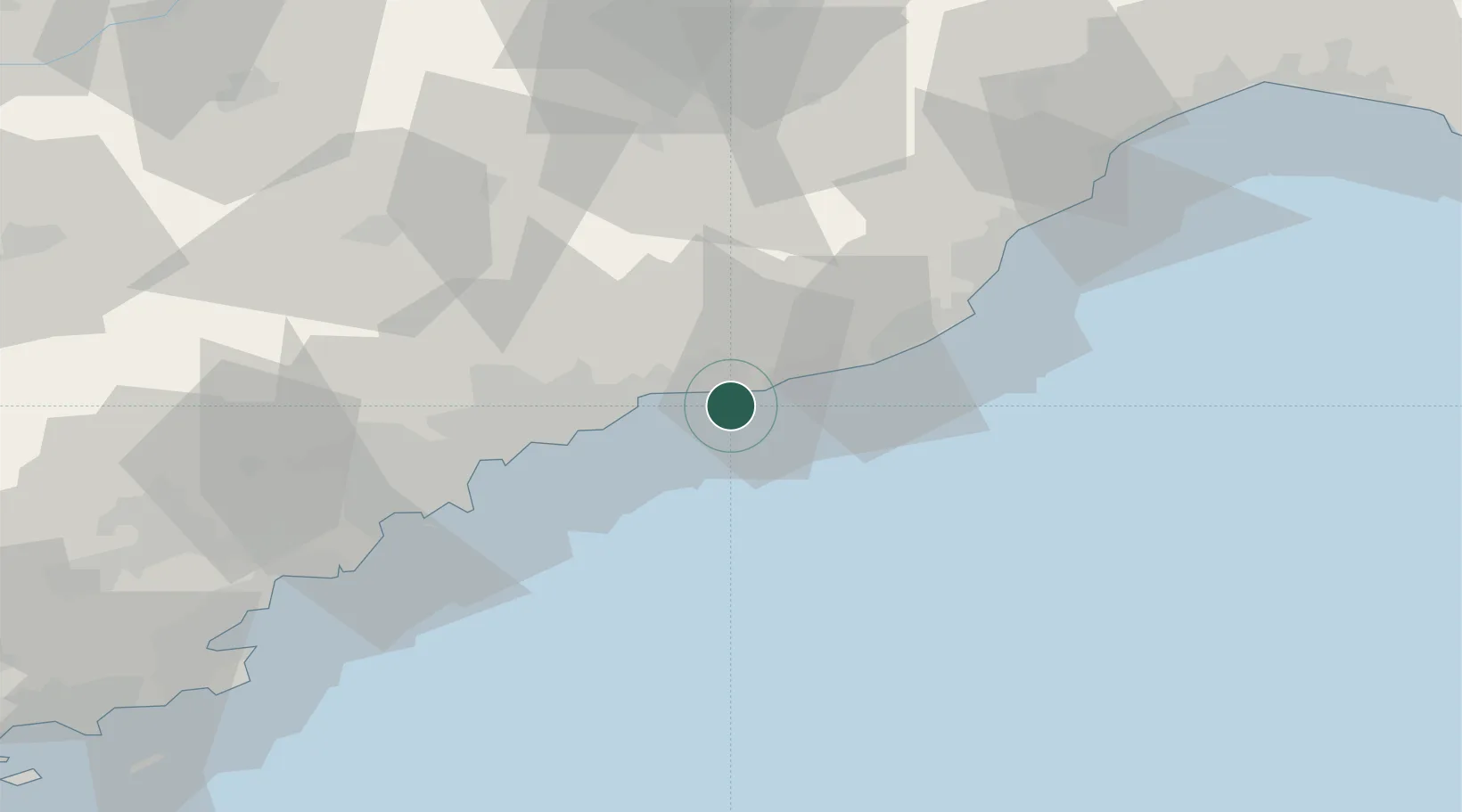
Place type
District seat
Region
Liguria
Population
9,016
Time zone
Europe/Rome
Elevation
5 m
Location
Nearby Logistics Neighbours
Cities
- 1Ventimiglia6 km
- 2San Biagio della Cima6 km
- 3Bevera9 km
- 4Arma di Taggia16 km
- 5Roquebrune-Cap-Martin16 km
Ports
- 1San Remo11 km
- 2Monaco20 km
- 3Villefranche29 km
- 4Nice32 km
- 5Imperia32 km
Airports
Trade Zones
- 1ZFU LAriane31 km
- 2ZFU Toulon157 km
- 3ZFU La Seyne-sur-Mer166 km
- 4ZFU Marseille 15e et 16e192 km
- 5ZFU Saint-Barthélémy, Le Canet, Delorme-Paternelle203 km
DatabookThe Record of Consolidated Knowledge
Italy beyond logistics?