UN/LOCODE hub · Italy
ITSSF

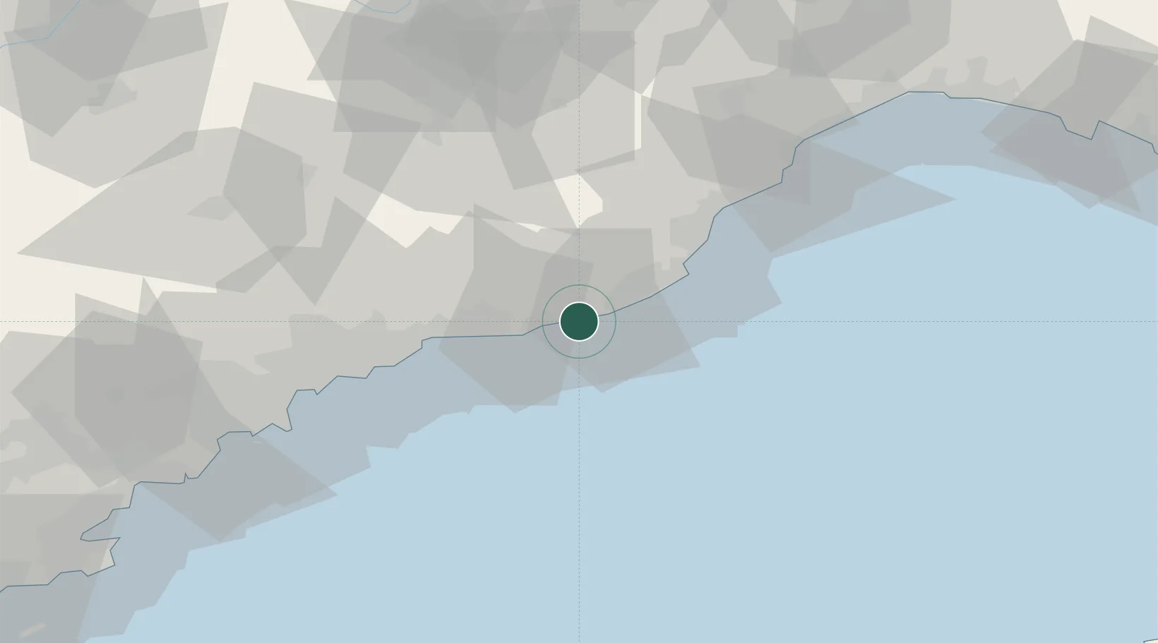
Santo Stefano al Mare

43.8333°, 7.8833°
1,842
Population
3
Transport functions

Transport Functions

Port
Rail
Road
UN/LOCODE

Hub Profile

Place type
District seat
GeoNames
Region
Liguria
GeoNames
Population
1,842
GeoNames
Time zone
Europe/Rome
GeoNames
Elevation
7 m
GeoNames

Location

Location of ITSSF
Natural Earth 10m (public domain) · Liguria · ITSSF · 43.83, 7.88GoogleOSMYandex

Nearby Logistics Neighbours

Cities
  1. 1Arma di Taggia3 km
  2. 2Badalucco10 km
  3. 3Imperia15 km
  4. 4Chiusavecchia17 km
  5. 5San Biagio della Cima19 km
Nearest neighbours — logibook spatial index (haversine) over the source coordinates
Ports
  1. 1San Remo8 km
  2. 2Imperia13 km
  3. 3Monaco39 km
  4. 4Villefranche48 km
  5. 5Nice50 km
Nearest neighbours — logibook spatial index (haversine) over the source coordinates
Airports
  1. 1Riviera Villanova d'Albenga International Airport31 km
  2. 2Monaco Heliport39 km
  3. 3Nice-Côte d'Azur Airport57 km
  4. 4Cannes Croisette Heliport76 km
  5. 5Cannes Mandelieu Airport81 km
Nearest neighbours — logibook spatial index (haversine) over the source coordinates
Trade Zones
  1. 1ZFU LAriane49 km
  2. 2ZFU Toulon176 km
  3. 3ZFU La Seyne-sur-Mer185 km
  4. 4ZFU Marseille 15e et 16e210 km
  5. 5ZFU Saint-Barthélémy, Le Canet, Delorme-Paternelle222 km
Nearest neighbours — logibook spatial index (haversine) over the source coordinates
DatabookThe Record of Consolidated Knowledge
Italy beyond logistics?
Browse databook

All Sources

LocationsUN/LOCODE
UN/LOCODE — free
LocationsGeoNames
CC BY 4.0
Portsthe NGA World Port Index
Public domain (US gov)
AirportsOurAirports
Public domain
Trade Zonesthe World Bank SEZ database
CC BY 4.0
Trade ZonesOpen Zone Map
CC BY
← Italy locations