Transport Functions
Port
Hub Profile
Place type
Provincial seat
Region
Liguria
Population
42,328
Time zone
Europe/Rome
Elevation
10 m
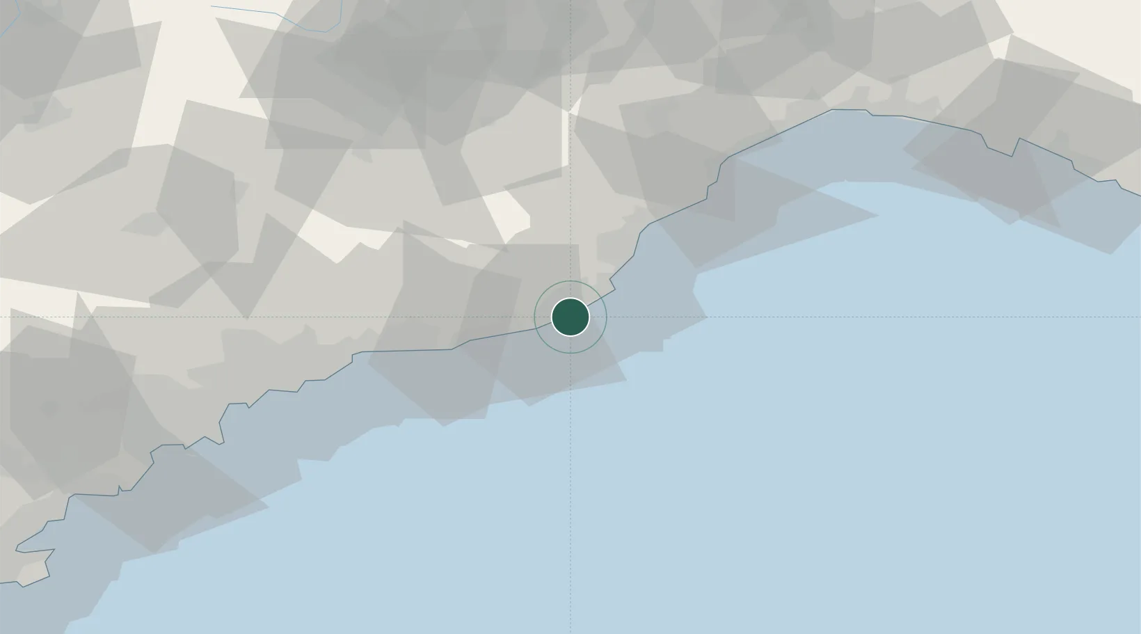
Location
Nearby Logistics Neighbours
Cities
- 1Chiusavecchia11 km
- 2Andora11 km
- 3Santo Stefano al Mare15 km
- 4Caravonica15 km
- 5Alassio16 km
Ports
- 1San Remo22 km
- 2Rada Di Vado53 km
- 3Monaco54 km
- 4Savona60 km
- 5Villefranche62 km
Airports
Trade Zones
- 1ZFU LAriane63 km
- 2ZFU Toulon190 km
- 3ZFU La Seyne-sur-Mer199 km
- 4ZFU Marseille 15e et 16e225 km
- 5Aosta Valley227 km
DatabookThe Record of Consolidated Knowledge
Italy beyond logistics?