UN/LOCODE hub · India
INCJC

NCTL(ENGG) SEZ/Kancheepuram

12.8167°, 79.7167°
1
Transport functions

Transport Functions

Multimodal
UN/LOCODE

Hub Profile

Region
TN
GeoNames

Location

Location of INCJC
Natural Earth 10m (public domain) · TN · INCJC · 12.82, 79.72GoogleOSMYandex

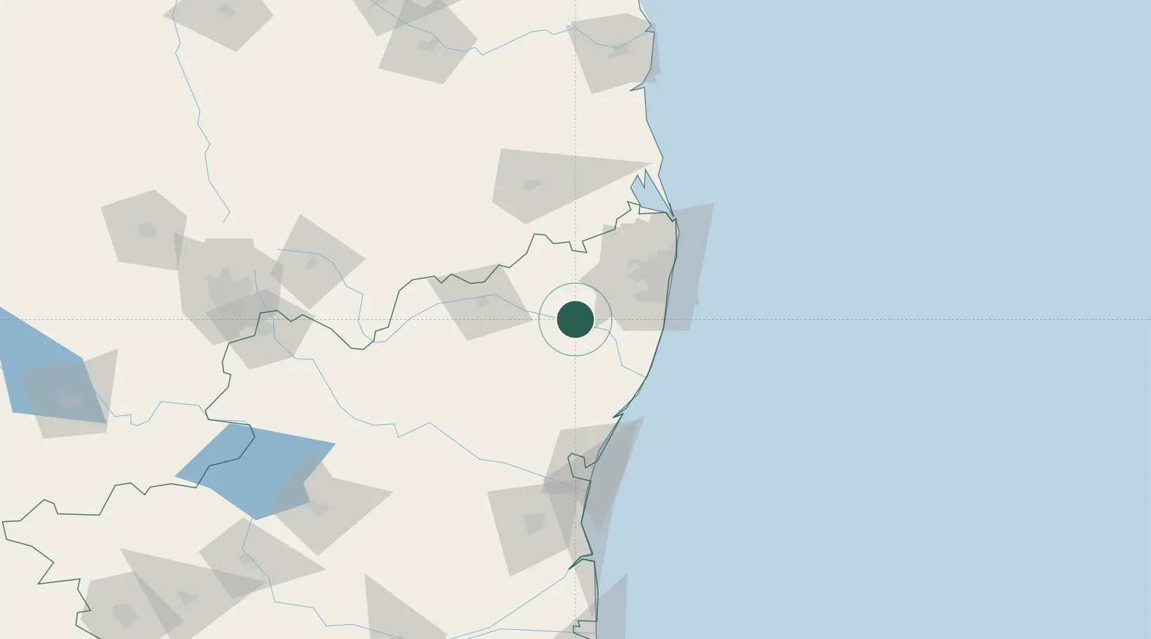
Nearby Logistics Neighbours

Cities
  1. 1FIPL SEZ/Kancheepuram2 km
  2. 2ETA SEZ/Kancheepuram2 km
  3. 3AEIP SEZ/Kancheepuram2 km
  4. 4DLFC SEZ/Kancheepuram2 km
  5. 5ECTN SEZ/Kancheepuram2 km
Nearest neighbours — logibook spatial index (haversine) over the source coordinates
Ports
  1. 1Chennai (Madras)71 km
  2. 2Kamarajar Port84 km
  3. 3Pondicherry99 km
  4. 4Cuddalore122 km
  5. 5Kattupalli Port166 km
Nearest neighbours — logibook spatial index (haversine) over the source coordinates
Airports
  1. 1Chennai International Airport53 km
  2. 2Tirupati International Airport93 km
  3. 3Pondicherry Airport95 km
  4. 4Salem Airport213 km
  5. 5Kadapa Airport215 km
Nearest neighbours — logibook spatial index (haversine) over the source coordinates
Trade Zones
  1. 1Flextronics Technologies (India) Private Limited23 km
  2. 2Mahindra City Special Economic Zone33 km
  3. 3MEPZ Special Economic Zone46 km
  4. 4DLF Info City55 km
  5. 5Cognizant Technology Solutions India Pvt. Ltd.55 km
Nearest neighbours — logibook spatial index (haversine) over the source coordinates
DatabookThe Record of Consolidated Knowledge
India beyond logistics?
Browse databook

All Sources

LocationsUN/LOCODE
UN/LOCODE — free
Portsthe NGA World Port Index
Public domain (US gov)
AirportsOurAirports
Public domain
Trade Zonesthe World Bank SEZ database
CC BY 4.0
Trade ZonesOpen Zone Map
CC BY
← India locations