UN/LOCODE hub · India
INMAE

ECTNL SEZ/Gangaikondan

8.7333°, 77.7000°
1
Transport functions

Transport Functions

Multimodal
UN/LOCODE

Hub Profile

Region
TN
GeoNames

Location

Location of INMAE
Natural Earth 10m (public domain) · TN · INMAE · 8.73, 77.70GoogleOSMYandex

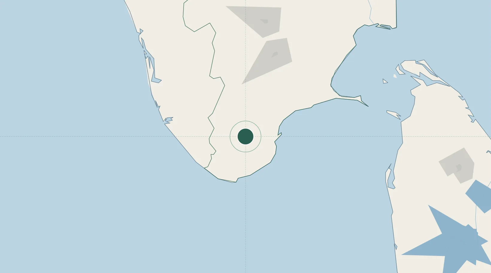
Nearby Logistics Neighbours

Cities
  1. 1VVM SEZ/Tirunelveli0 km
  2. 2HVCPL SEZ/KADAYAM26 km
  3. 3Amrlitcl-SEZ/Nanguneri28 km
  4. 4Tuticorin47 km
  5. 5Ccclil-SEZ/Tuticorin48 km
Nearest neighbours — logibook spatial index (haversine) over the source coordinates
Ports
  1. 1Tuticorin52 km
  2. 2Trivandrum87 km
  3. 3Quilon (Kollam)124 km
  4. 4Kochi (Cochin)211 km
  5. 5Kankesanturai285 km
Nearest neighbours — logibook spatial index (haversine) over the source coordinates
Airports
  1. 1Tuticorin Airport36 km
  2. 2Thiruvananthapuram International Airport90 km
  3. 3Madurai Airport130 km
  4. 4Cochin International Airport213 km
  5. 5Tiruchirappalli International Airport252 km
Nearest neighbours — logibook spatial index (haversine) over the source coordinates
DatabookThe Record of Consolidated Knowledge
India beyond logistics?
Browse databook

All Sources

LocationsUN/LOCODE
UN/LOCODE — free
Portsthe NGA World Port Index
Public domain (US gov)
AirportsOurAirports
Public domain
Trade Zonesthe World Bank SEZ database
CC BY 4.0
Trade ZonesOpen Zone Map
CC BY
← India locations