Transport Functions
Multimodal
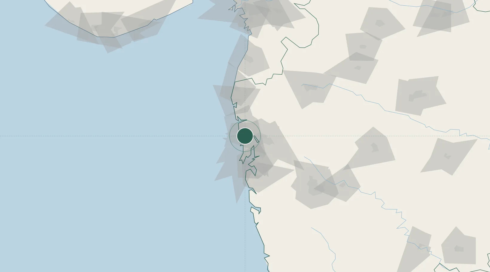
Hub Profile
Place type
Populated place
Region
Maharashtra
Population
809,378
Time zone
Asia/Kolkata
Elevation
9 m
Location
Nearby Logistics Neighbours
Cities
- 1Multi Services-SEZ/Dronagiri15 km
- 2IGGSL SEZ/Thane17 km
- 3SPPL SEZ/Thane17 km
- 4SCPL SEZ/Mulund17 km
- 5Thane17 km
Ports
- 1Mumbai (Bombay)37 km
- 2Jawaharlal Nehru Port (Nhava Shiva)40 km
- 3Port Dabhol194 km
- 4Hazira200 km
- 5Magdalla206 km
Airports
Trade Zones
DatabookThe Record of Consolidated Knowledge
India beyond logistics?