UN/LOCODE hub · India
INCBC

CHIPL SEZ/Coimbatore

11.2500°, 77.3333°
1
Transport functions

Transport Functions

Multimodal
UN/LOCODE

Hub Profile

Region
TN
GeoNames

Location

Location of INCBC
Natural Earth 10m (public domain) · TN · INCBC · 11.25, 77.33GoogleOSMYandex

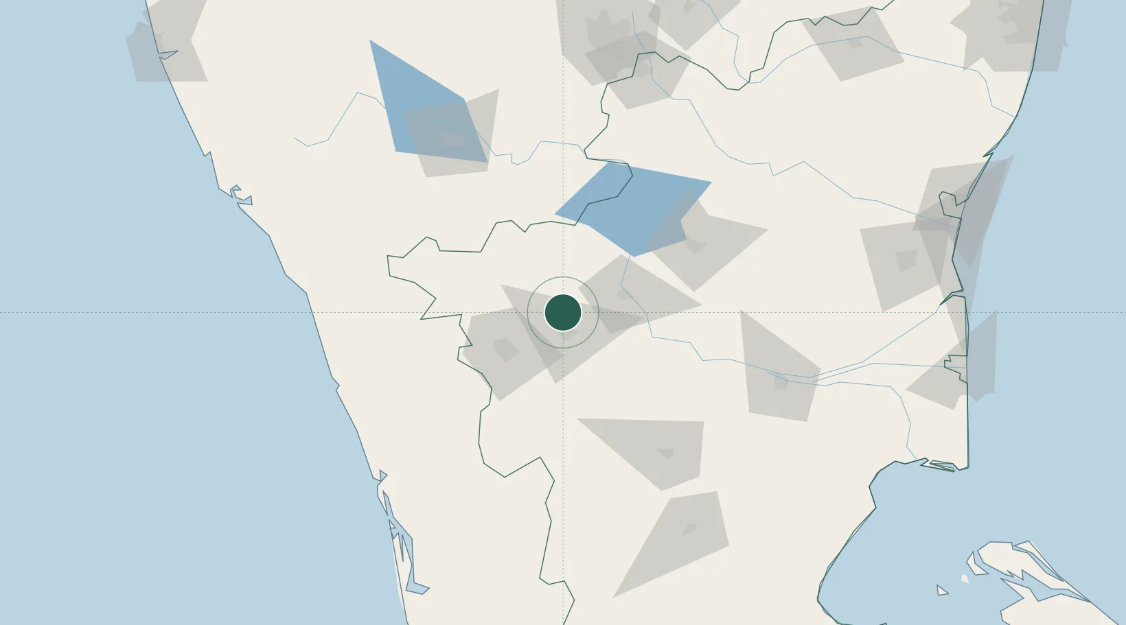
Nearby Logistics Neighbours

Cities
  1. 1Tiruppur19 km
  2. 2Coimbatore42 km
  3. 3Erode45 km
  4. 4Sipcot-SEZ/Erode45 km
  5. 5Etlisl-SEZ/Erode45 km
Nearest neighbours — logibook spatial index (haversine) over the source coordinates
Ports
  1. 1Beypore168 km
  2. 2Calicut (Kozhikode)171 km
  3. 3Kochi (Cochin)187 km
  4. 4Azhikal (Azhikkal)234 km
  5. 5Cuddalore270 km
Nearest neighbours — logibook spatial index (haversine) over the source coordinates
Airports
  1. 1Coimbatore International Airport40 km
  2. 2Salem Airport99 km
  3. 3Mysore Airport132 km
  4. 4Calicut International Airport151 km
  5. 5Cochin International Airport159 km
Nearest neighbours — logibook spatial index (haversine) over the source coordinates
Trade Zones
  1. 1Aspen Karumathamapatti Special Economic Zone (Formerly Aspen)22 km
  2. 2Rathinam Techzone52 km
  3. 3Span Ventures53 km
  4. 4Infosys Ltd SEZ (Mysuru)147 km
  5. 5Kinfra (Food Processing) SEZ Kakkancherry158 km
Nearest neighbours — logibook spatial index (haversine) over the source coordinates
DatabookThe Record of Consolidated Knowledge
India beyond logistics?
Browse databook

All Sources

LocationsUN/LOCODE
UN/LOCODE — free
Portsthe NGA World Port Index
Public domain (US gov)
AirportsOurAirports
Public domain
Trade Zonesthe World Bank SEZ database
CC BY 4.0
Trade ZonesOpen Zone Map
CC BY
← India locations