Transport Functions
Rail
Road
Multimodal
Hub Profile
Place type
Populated place
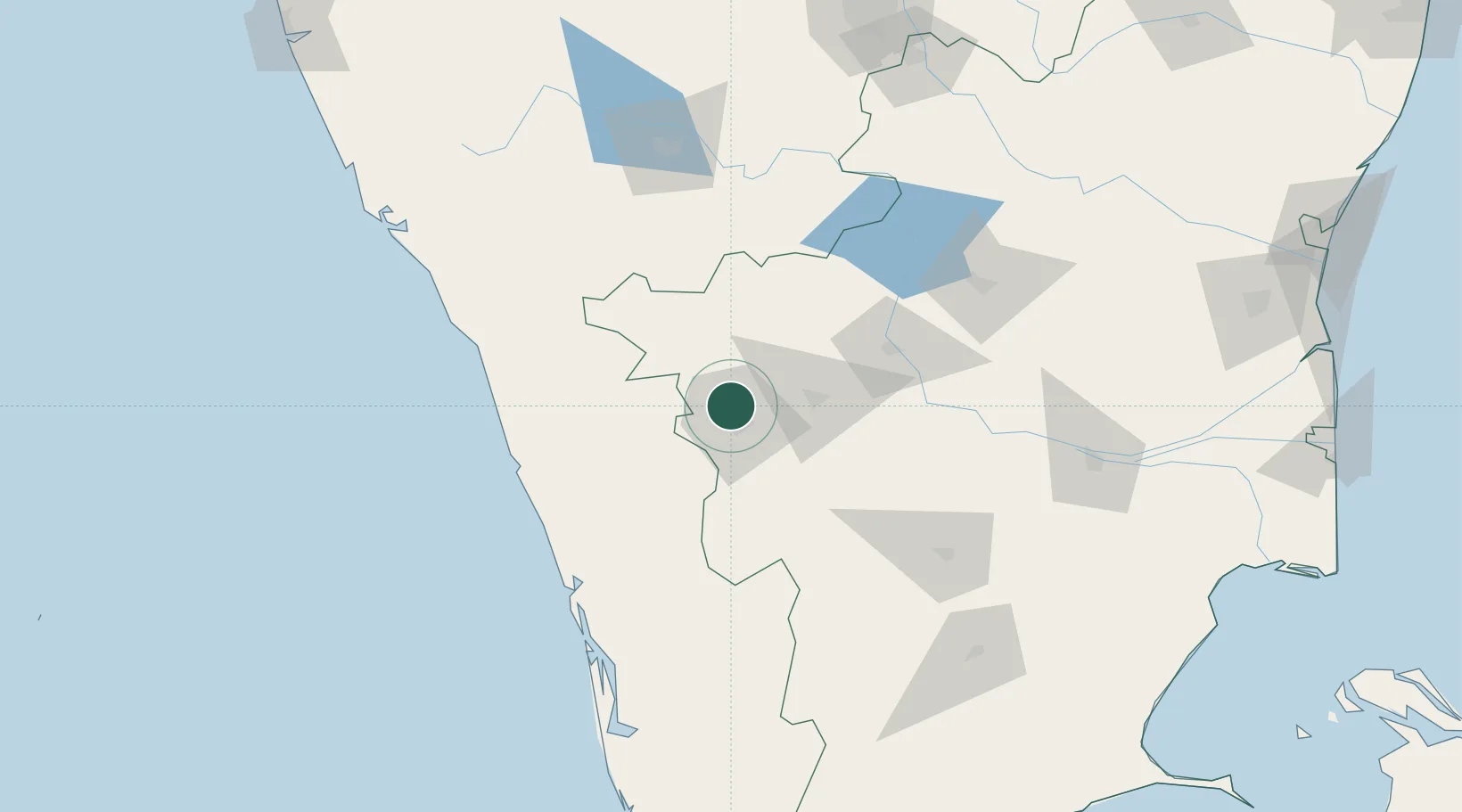
Region
Tamil Nadu
Population
33,924
Time zone
Asia/Kolkata
Elevation
454 m
Location
Nearby Logistics Neighbours
Cities
- 1Coimbatore8 km
- 2SE&C LTD-SEZ/Coimbatore9 km
- 3TDPL SEZ/Coimbatore9 km
- 4ECTN SEZ/Coimbatore9 km
- 5SVPL SEZ/Coimbatore9 km
Ports
- 1Beypore126 km
- 2Calicut (Kozhikode)130 km
- 3Kochi (Cochin)147 km
- 4Azhikal (Azhikkal)203 km
- 5Quilon (Kollam)249 km
Airports
- 1Coimbatore International Airport12 km
- 2Calicut International Airport109 km
- 3Cochin International Airport120 km
- 4Mysore Airport132 km
- 5Salem Airport144 km
DatabookThe Record of Consolidated Knowledge
India beyond logistics?