UN/LOCODE hub · India
INCRL

Rga Sez/Chikkankannelli

13.4167°, 76.6167°
1
Transport functions

Transport Functions

Multimodal
UN/LOCODE

Hub Profile

Region
KA
GeoNames

Location

Location of INCRL
Natural Earth 10m (public domain) · KA · INCRL · 13.42, 76.62GoogleOSMYandex

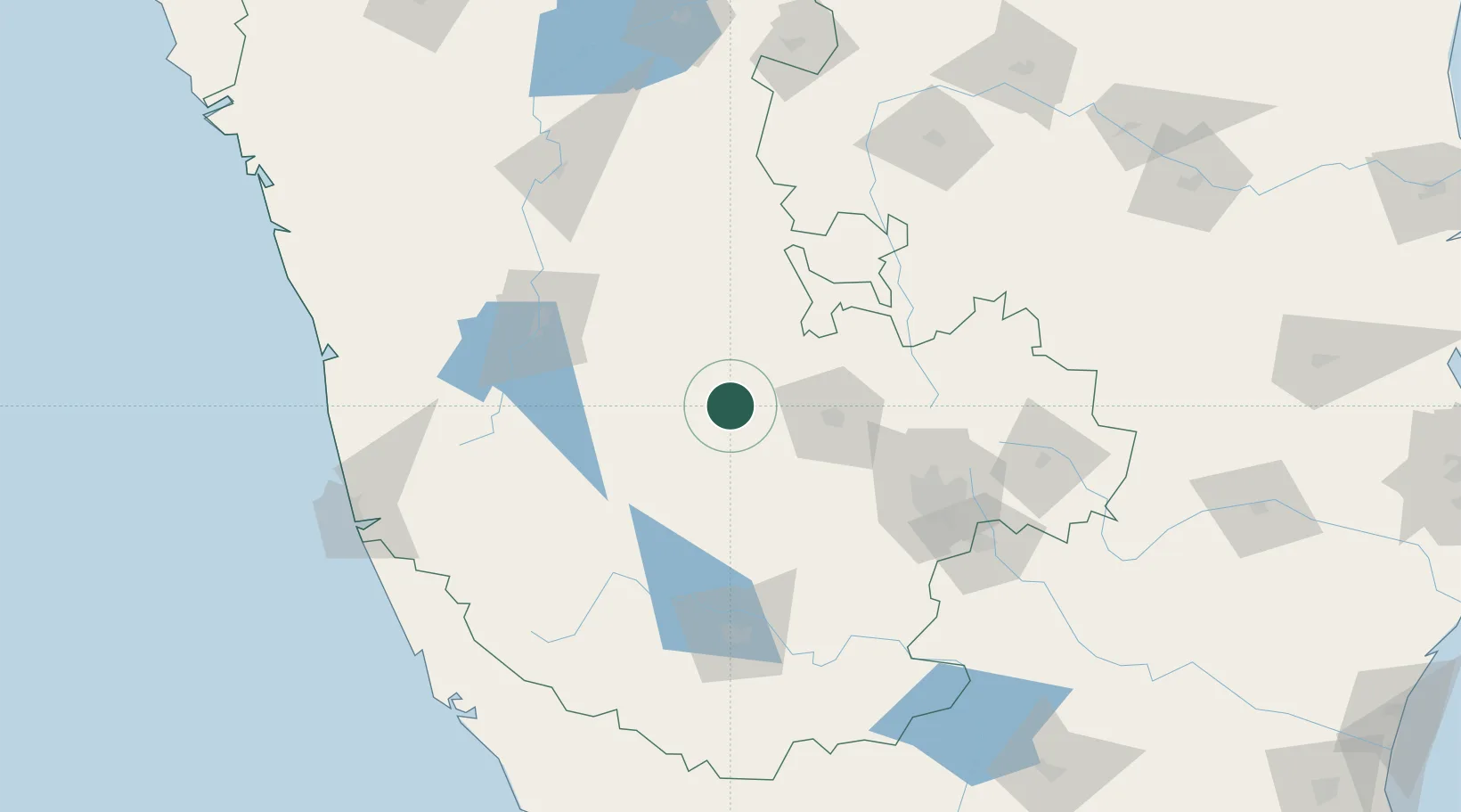
Nearby Logistics Neighbours

Cities
  1. 1Hassan74 km
  2. 2OPTO INFRA SEZ/Hassan74 km
  3. 3Kiadbfp-SEZ/Hassan74 km
  4. 4Kiadbp-SEZ/Hassan74 km
  5. 5Kiadbt-SEZ/Hassan74 km
Nearest neighbours — logibook spatial index (haversine) over the source coordinates
Ports
  1. 1New Mangalore203 km
  2. 2Azhikal (Azhikkal)217 km
  3. 3Calicut (Kozhikode)258 km
  4. 4Beypore266 km
  5. 5Belekeri291 km
Nearest neighbours — logibook spatial index (haversine) over the source coordinates
Airports
  1. 1Jakkur Aerodrome113 km
  2. 2Rashtrakavi Kuvempu Airport119 km
  3. 3Kempegowda International Airport Bengaluru120 km
  4. 4HAL Airport125 km
  5. 5Mysore Airport132 km
Nearest neighbours — logibook spatial index (haversine) over the source coordinates
Trade Zones
  1. 1Kiadb Food Processing Special Economic Zone72 km
  2. 2Kiadb SEZ Hassan - Textiles77 km
  3. 3M s. Gulf Oil Corporation Limited110 km
  4. 4Sattva Global City SEZ111 km
  5. 5Brigade Enterprises Pvt.Ltd.111 km
Nearest neighbours — logibook spatial index (haversine) over the source coordinates
DatabookThe Record of Consolidated Knowledge
India beyond logistics?
Browse databook

All Sources

LocationsUN/LOCODE
UN/LOCODE — free
Portsthe NGA World Port Index
Public domain (US gov)
AirportsOurAirports
Public domain
Trade Zonesthe World Bank SEZ database
CC BY 4.0
Trade ZonesOpen Zone Map
CC BY
← India locations