UN/LOCODE hub · India
INBCO

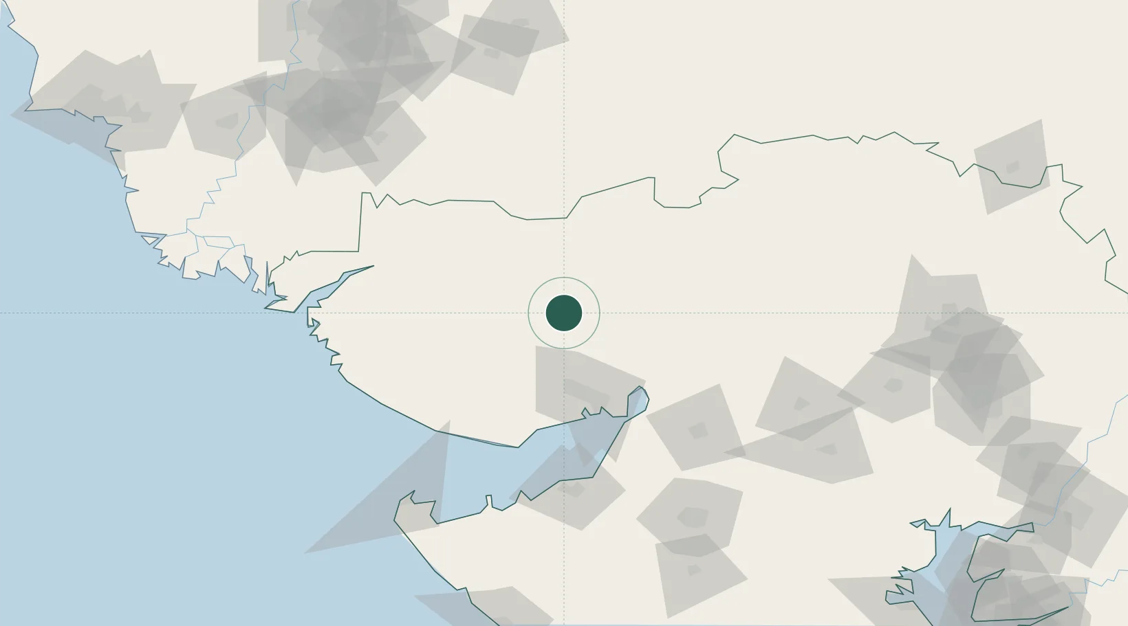
Euro Multivision Bhachau-SEZ/Kutch

23.5833°, 70.0000°
1
Transport functions

Transport Functions

Multimodal
UN/LOCODE

Hub Profile

Region
GJ
GeoNames

Location

Location of INBCO
Natural Earth 10m (public domain) · GJ · INBCO · 23.58, 70.00GoogleOSMYandex

Nearby Logistics Neighbours

Cities
  1. 1Welspun Anjar-SEZ/Anjar50 km
  2. 2OPGS SEZ/Gandhidham57 km
  3. 3Gandhidham57 km
  4. 4Kandla-SEZ/Gandhidham63 km
  5. 5Kandla63 km
Nearest neighbours — logibook spatial index (haversine) over the source coordinates
Ports
  1. 1Kandla65 km
  2. 2Navlakhi83 km
  3. 3Mundra100 km
  4. 4Mandvi107 km
  5. 5Bedi112 km
Nearest neighbours — logibook spatial index (haversine) over the source coordinates
Airports
  1. 1Bhuj Airport47 km
  2. 2Kandla Airport53 km
  3. 3Jamnagar Airport124 km
  4. 4Mai Bakhtawar International Airport141 km
  5. 5Rajkot Airport163 km
Nearest neighbours — logibook spatial index (haversine) over the source coordinates
Trade Zones
  1. 1Euro Multivision Pvt. Ltd.32 km
  2. 2Kandla Special Economic Zone62 km
  3. 3Kandla Special Economic Zone63 km
  4. 4Ganesh Infrastructure Pvt. Ltd.87 km
  5. 5Adani Mundra Port98 km
Nearest neighbours — logibook spatial index (haversine) over the source coordinates
DatabookThe Record of Consolidated Knowledge
India beyond logistics?
Browse databook

All Sources

LocationsUN/LOCODE
UN/LOCODE — free
Portsthe NGA World Port Index
Public domain (US gov)
AirportsOurAirports
Public domain
Trade Zonesthe World Bank SEZ database
CC BY 4.0
Trade ZonesOpen Zone Map
CC BY
← India locations