Medium airport · Pakistan

Mai Bakhtawar International AirportPK-0092

24.8469°, 70.0961°
7,000 ft
Longest runway
1
Runways
182 ft
Elevation

Runway & Layout

Mai Bakhtawar International Airport runway & taxiway layout
Runway & taxiway layout — OpenStreetMap (ODbL) / OurAirports

Runways · 1

RunwayDimensions SurfaceTrue headingLit
07/25 7,000 × 98ft Asphalt
OurAirports

Airport Specifications

Airport class
Medium airport
OurAirports
Scheduled service
No
OurAirports
Runway surface
Asphalt
OurAirports
Served city
Islamkot
OurAirports

Location

Location of PK-0092
Natural Earth 10m (public domain) · Sind · PK-0092 · 24.85, 70.10GoogleOSMYandex

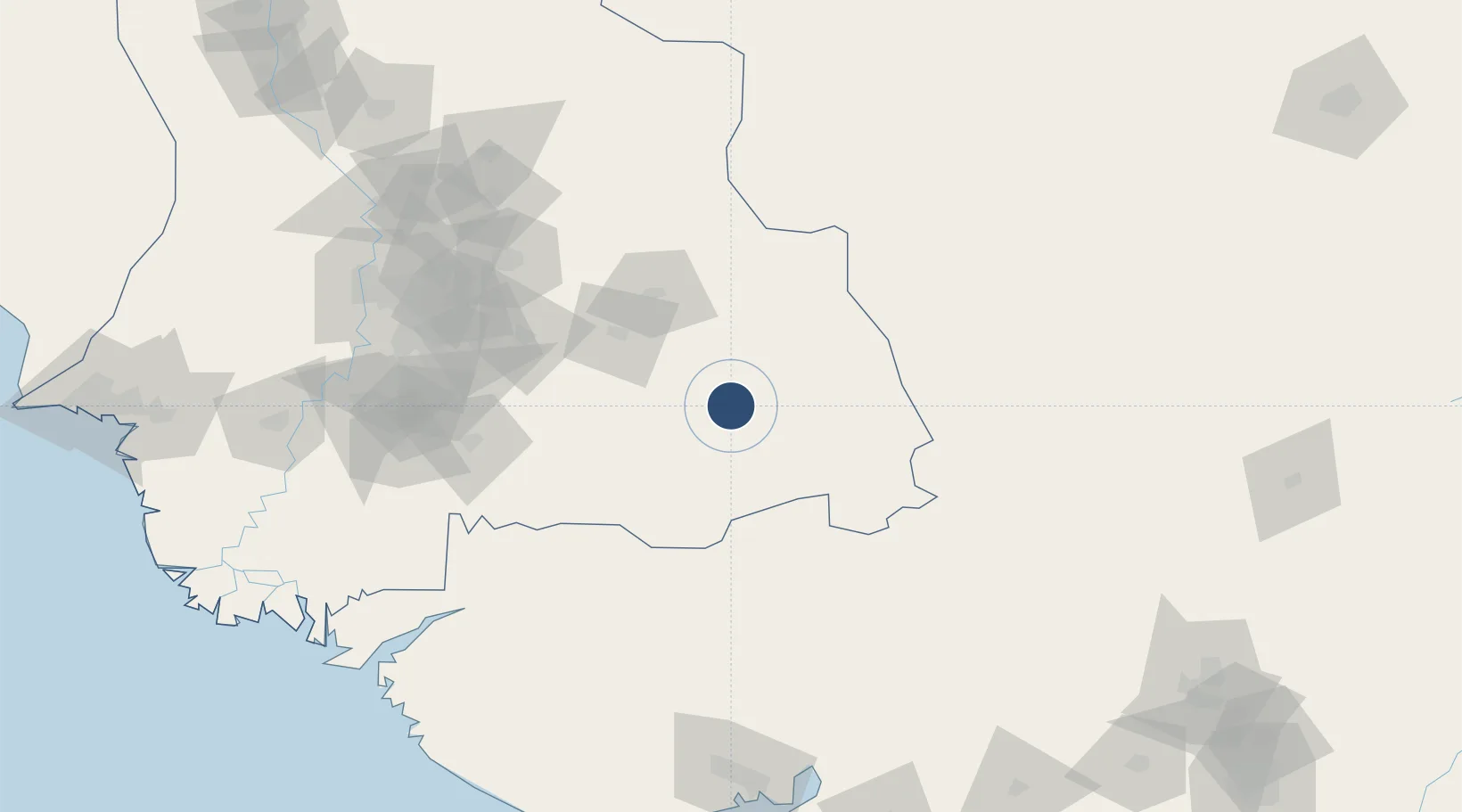
Nearby Logistics Neighbours

Airports
  1. 1Bhuj Airport179 km
  2. 2Hyderabad Airport182 km
  3. 3Kandla Airport193 km
  4. 4Shaheed Benazirabad Airport229 km
  5. 5Jaisalmer Airport240 km
Nearest neighbours — logibook spatial index (haversine) over the source coordinates
Cities
  1. 1Khokhropar95 km
  2. 2Euro Multivision Bhachau-SEZ/Kutch141 km
  3. 3Welspun Anjar-SEZ/Anjar191 km
  4. 4OPGS SEZ/Gandhidham196 km
  5. 5Gandhidham196 km
Nearest neighbours — logibook spatial index (haversine) over the source coordinates
Ports
  1. 1Kandla202 km
  2. 2Navlakhi213 km
  3. 3Mandvi236 km
  4. 4Mundra239 km
  5. 5Bedi253 km
Nearest neighbours — logibook spatial index (haversine) over the source coordinates
Trade Zones
  1. 1Euro Multivision Pvt. Ltd.170 km
  2. 2Kandla Special Economic Zone202 km
  3. 3Kandla Special Economic Zone202 km
  4. 4Ganesh Infrastructure Pvt. Ltd.226 km
  5. 5Adani Mundra Port237 km
Nearest neighbours — logibook spatial index (haversine) over the source coordinates
DatabookThe Record of Consolidated Knowledge
Pakistan beyond logistics?
Browse databook

All Sources

AirportsOurAirports
Public domain
Portsthe NGA World Port Index
Public domain (US gov)
LocationsUN/LOCODE
UN/LOCODE — free
Trade Zonesthe World Bank SEZ database
CC BY 4.0
Trade ZonesOpen Zone Map
CC BY
InfrastructureOpenStreetMap
ODbL 1.0
← Pakistan airports