UN/LOCODE hub · India
INAMD

Ahmedabad

23.1146°, 72.5357°
6,357,693
Population
4
Transport functions

Transport Functions

Rail
Road
Airport
Multimodal
UN/LOCODE

Hub Profile

Place type
Populated place
GeoNames
Region
Gujarat
GeoNames
Population
6,357,693
GeoNames
Time zone
Asia/Kolkata
GeoNames
Elevation
56 m
GeoNames
Logistics facilities
14
UN/LOCODE

Location

Location of INAMD
Natural Earth 10m (public domain) · Gujarat · INAMD · 23.11, 72.54GoogleOSMYandex

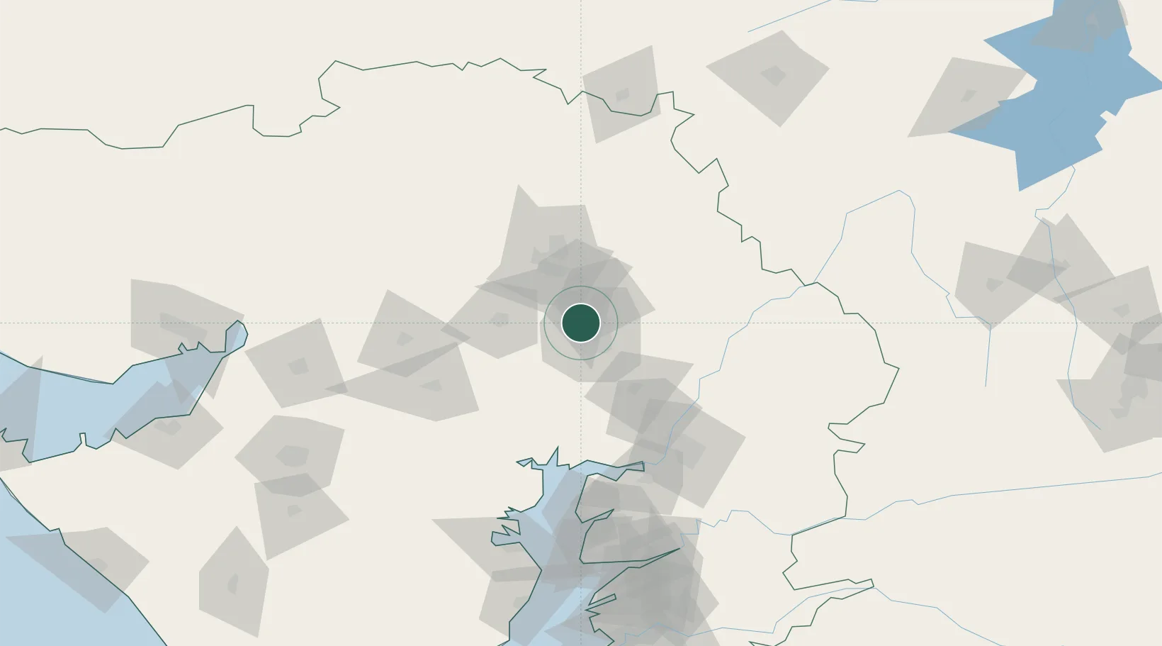
Nearby Logistics Neighbours

Cities
  1. 1Ccipl-SEZ/Ahmadabad12 km
  2. 2Gipl-SEZ/Ahmadabad12 km
  3. 3Mrpl-SEZ/Ahmadabad12 km
  4. 4Cgrpl-SEZ/Ahmadabad12 km
  5. 5Aap-SEZ/Ahmedabad12 km
Nearest neighbours — logibook spatial index (haversine) over the source coordinates
Ports
  1. 1Bhavnagar153 km
  2. 2Dahej157 km
  3. 3Navlakhi214 km
  4. 4Magdalla220 km
  5. 5Hazira226 km
Nearest neighbours — logibook spatial index (haversine) over the source coordinates
Airports
  1. 1Sardar Vallabh Patel International Airport11 km
  2. 2Vadodara International Airport112 km
  3. 3Bhavnagar Airport156 km
  4. 4Rajkot International Airport174 km
  5. 5Rajkot Airport201 km
Nearest neighbours — logibook spatial index (haversine) over the source coordinates
Trade Zones
  1. 1Suzlon Infrastructure Ltd.9 km
  2. 2Tata Consultancy Services Ltd, Gandhinagar.13 km
  3. 3Aqualine Properties Pvt. Ltd. Gandhinagar.13 km
  4. 4OPGS Power Gujarat Pvt.13 km
  5. 5GiDC Apparel Park Ahmedabad14 km
Nearest neighbours — logibook spatial index (haversine) over the source coordinates
DatabookThe Record of Consolidated Knowledge
India beyond logistics?
Browse databook

All Sources

LocationsUN/LOCODE
UN/LOCODE — free
LocationsGeoNames
CC BY 4.0
Portsthe NGA World Port Index
Public domain (US gov)
AirportsOurAirports
Public domain
Trade Zonesthe World Bank SEZ database
CC BY 4.0
Trade ZonesOpen Zone Map
CC BY
← India locations