Specialized Zone · India

Suzlon Infrastructure Ltd. Active
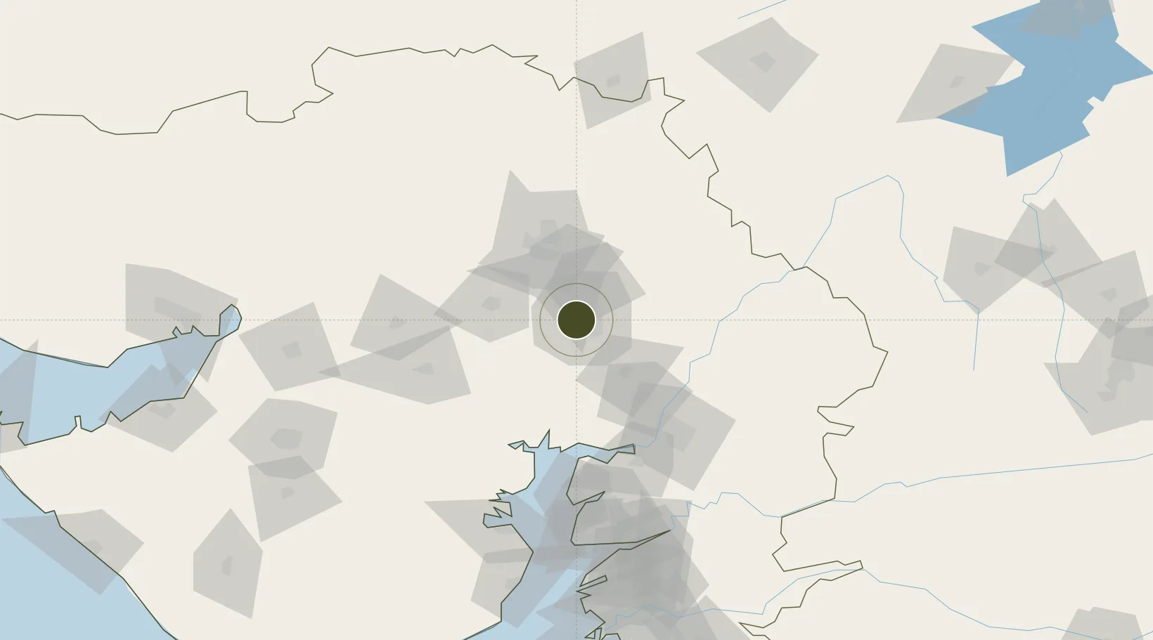
23.0358°, 72.5615°
116 ha
Zone area
145.1 km
Nearest port
8.8 km
Nearest airport

Gateway access

Nearest neighbours — logibook spatial index (haversine) over the source coordinates

Zone profile

Zone type
Specialized Zone
Open Zone Map
Specialization
Manufacturing
Open Zone Map
Region
Gujarat
Open Zone Map
Status
Active
Open Zone Map
Management
Private
Open Zone Map
Operator
Suzlon Energy Limited
Open Zone Map
Legal framework
Gujarat Special Economic Zone ACT, 2004., The Special Economic Zones Act, 2005
Open Zone Map

Location

Location of ozm-2290
Natural Earth 10m (public domain) · Gujarat · ozm-2290 · 23.04, 72.56GoogleOSMYandex

Nearby Logistics Neighbours

Ports
  1. 1Bhavnagar145 km
  2. 2Dahej149 km
  3. 3Magdalla211 km
  4. 4Navlakhi217 km
  5. 5Hazira217 km
Nearest neighbours — logibook spatial index (haversine) over the source coordinates
Airports
  1. 1Sardar Vallabh Patel International Airport9 km
  2. 2Vadodara International Airport104 km
  3. 3Bhavnagar Airport148 km
  4. 4Rajkot International Airport172 km
  5. 5Rajkot Airport200 km
Nearest neighbours — logibook spatial index (haversine) over the source coordinates
Cities
  1. 1Ccipl-SEZ/Ahmadabad6 km
  2. 2Gipl-SEZ/Ahmadabad6 km
  3. 3Mrpl-SEZ/Ahmadabad6 km
  4. 4Cgrpl-SEZ/Ahmadabad6 km
  5. 5Aap-SEZ/Ahmedabad6 km
Nearest neighbours — logibook spatial index (haversine) over the source coordinates
Trade Zones
  1. 1GiDC Apparel Park Ahmedabad6 km
  2. 2OPGS Power Gujarat Pvt.8 km
  3. 3Aqualine Properties Pvt. Ltd. Gandhinagar.16 km
  4. 4Gift Multi Service SEZ18 km
  5. 5Tata Consultancy Services Ltd, Gandhinagar.19 km
Nearest neighbours — logibook spatial index (haversine) over the source coordinates
DatabookThe Record of Consolidated Knowledge
India beyond logistics?
Browse databook

All Sources

Trade ZonesOpen Zone Map
CC BY
Portsthe NGA World Port Index
Public domain (US gov)
AirportsOurAirports
Public domain
LocationsUN/LOCODE
UN/LOCODE — free
← India trade zones