Specialized Zone · India

OPGS Power Gujarat Pvt. Active
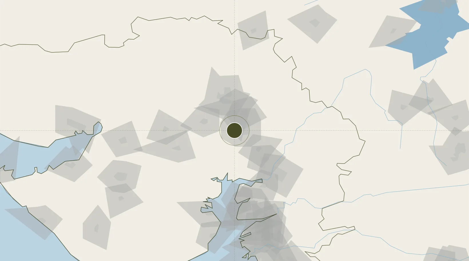
22.9998°, 72.4995°
51 ha
Zone area
139.8 km
Nearest port
16.3 km
Nearest airport

Gateway access

Nearest neighbours — logibook spatial index (haversine) over the source coordinates

Zone profile

Zone type
Specialized Zone
Open Zone Map
Specialization
Manufacturing
Open Zone Map
Region
Gujarat
Open Zone Map
Status
Active
Open Zone Map
Management
Private
Open Zone Map
Operator
OPGS Power Gujarat Pvt.
Open Zone Map
Legal framework
Gujarat Special Economic Zone ACT, 2004., The Special Economic Zones Act, 2005
Open Zone Map

Location

Location of ozm-2282
Natural Earth 10m (public domain) · Gujarat · ozm-2282 · 23.00, 72.50GoogleOSMYandex

Nearby Logistics Neighbours

Ports
  1. 1Bhavnagar140 km
  2. 2Dahej145 km
  3. 3Magdalla207 km
  4. 4Navlakhi210 km
  5. 5Hazira214 km
Nearest neighbours — logibook spatial index (haversine) over the source coordinates
Airports
  1. 1Sardar Vallabh Patel International Airport16 km
  2. 2Vadodara International Airport105 km
  3. 3Bhavnagar Airport142 km
  4. 4Rajkot International Airport165 km
  5. 5Rajkot Airport193 km
Nearest neighbours — logibook spatial index (haversine) over the source coordinates
Cities
  1. 1Ccipl-SEZ/Ahmadabad13 km
  2. 2Gipl-SEZ/Ahmadabad13 km
  3. 3Mrpl-SEZ/Ahmadabad13 km
  4. 4Cgrpl-SEZ/Ahmadabad13 km
  5. 5Aap-SEZ/Ahmedabad13 km
Nearest neighbours — logibook spatial index (haversine) over the source coordinates
Trade Zones
  1. 1Suzlon Infrastructure Ltd.8 km
  2. 2GiDC Apparel Park Ahmedabad12 km
  3. 3Zydus Infrastructure Pvt.Ltd.16 km
  4. 4Aqualine Properties Pvt. Ltd. Gandhinagar.23 km
  5. 5Tata Consultancy Services Ltd, Gandhinagar.25 km
Nearest neighbours — logibook spatial index (haversine) over the source coordinates
DatabookThe Record of Consolidated Knowledge
India beyond logistics?
Browse databook

All Sources

Trade ZonesOpen Zone Map
CC BY
Portsthe NGA World Port Index
Public domain (US gov)
AirportsOurAirports
Public domain
LocationsUN/LOCODE
UN/LOCODE — free
← India trade zones