UN/LOCODE hub · India
INADC

Ccipl-SEZ/Ahmadabad

23.0333°, 72.6167°
1
Transport functions

Transport Functions

Multimodal
UN/LOCODE

Hub Profile

Region
GJ
GeoNames

Location

Location of INADC
Natural Earth 10m (public domain) · GJ · INADC · 23.03, 72.62GoogleOSMYandex

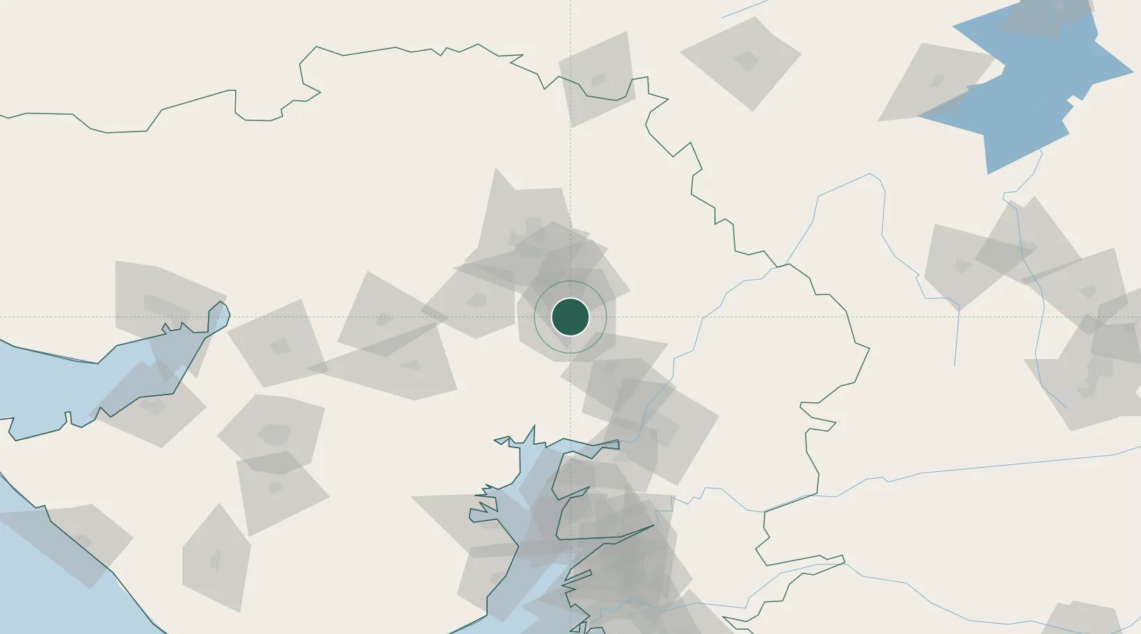
Nearby Logistics Neighbours

Cities
  1. 1Gipl-SEZ/Ahmadabad0 km
  2. 2Mrpl-SEZ/Ahmadabad0 km
  3. 3Cgrpl-SEZ/Ahmadabad0 km
  4. 4Aap-SEZ/Ahmedabad0 km
  5. 5Jubilant-Chemical-SEZ/Vilayat0 km
Nearest neighbours — logibook spatial index (haversine) over the source coordinates
Ports
  1. 1Bhavnagar146 km
  2. 2Dahej149 km
  3. 3Magdalla210 km
  4. 4Hazira217 km
  5. 5Navlakhi222 km
Nearest neighbours — logibook spatial index (haversine) over the source coordinates
Airports
  1. 1Sardar Vallabh Patel International Airport5 km
  2. 2Vadodara International Airport100 km
  3. 3Bhavnagar Airport149 km
  4. 4Rajkot International Airport177 km
  5. 5Rajkot Airport205 km
Nearest neighbours — logibook spatial index (haversine) over the source coordinates
Trade Zones
  1. 1GiDC Apparel Park Ahmedabad3 km
  2. 2Suzlon Infrastructure Ltd.6 km
  3. 3OPGS Power Gujarat Pvt.13 km
  4. 4Aqualine Properties Pvt. Ltd. Gandhinagar.13 km
  5. 5Gift Multi Service SEZ15 km
Nearest neighbours — logibook spatial index (haversine) over the source coordinates
DatabookThe Record of Consolidated Knowledge
India beyond logistics?
Browse databook

All Sources

LocationsUN/LOCODE
UN/LOCODE — free
Portsthe NGA World Port Index
Public domain (US gov)
AirportsOurAirports
Public domain
Trade Zonesthe World Bank SEZ database
CC BY 4.0
Trade ZonesOpen Zone Map
CC BY
← India locations