Transport Functions
Rail
Road
Hub Profile
Place type
Regional capital
Region
Zala County
Population
61,898
Time zone
Europe/Budapest
Elevation
167 m
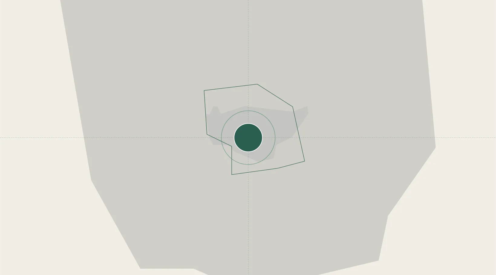
Location
Nearby Logistics Neighbours
Cities
- 1Bagod9 km
- 2Nemessándorháza11 km
- 3Nádasd21 km
- 4Dragoslavec22 km
- 5Vasvár24 km
Ports
- 1Bakar246 km
- 2Rijeka Luka249 km
- 3Omisalj252 km
- 4Senj254 km
- 5Trieste271 km
Airports
- 1Hévíz–Balaton Airport30 km
- 2Maribor Edvard Rusjan Airport96 km
- 3Taszár Air Base96 km
- 4Graz Airport107 km
- 5Győr-Pér Airport115 km
Trade Zones
- 1Sjever Free Zone71 km
- 2Krapina-Zagorje Free Zone106 km
- 3PJ Free Zone Zagreb136 km
- 4Göd Special Economic Zone200 km
- 5Duro Daković Free Zone206 km
DatabookThe Record of Consolidated Knowledge
Hungary beyond logistics?