Transport Functions
Multimodal
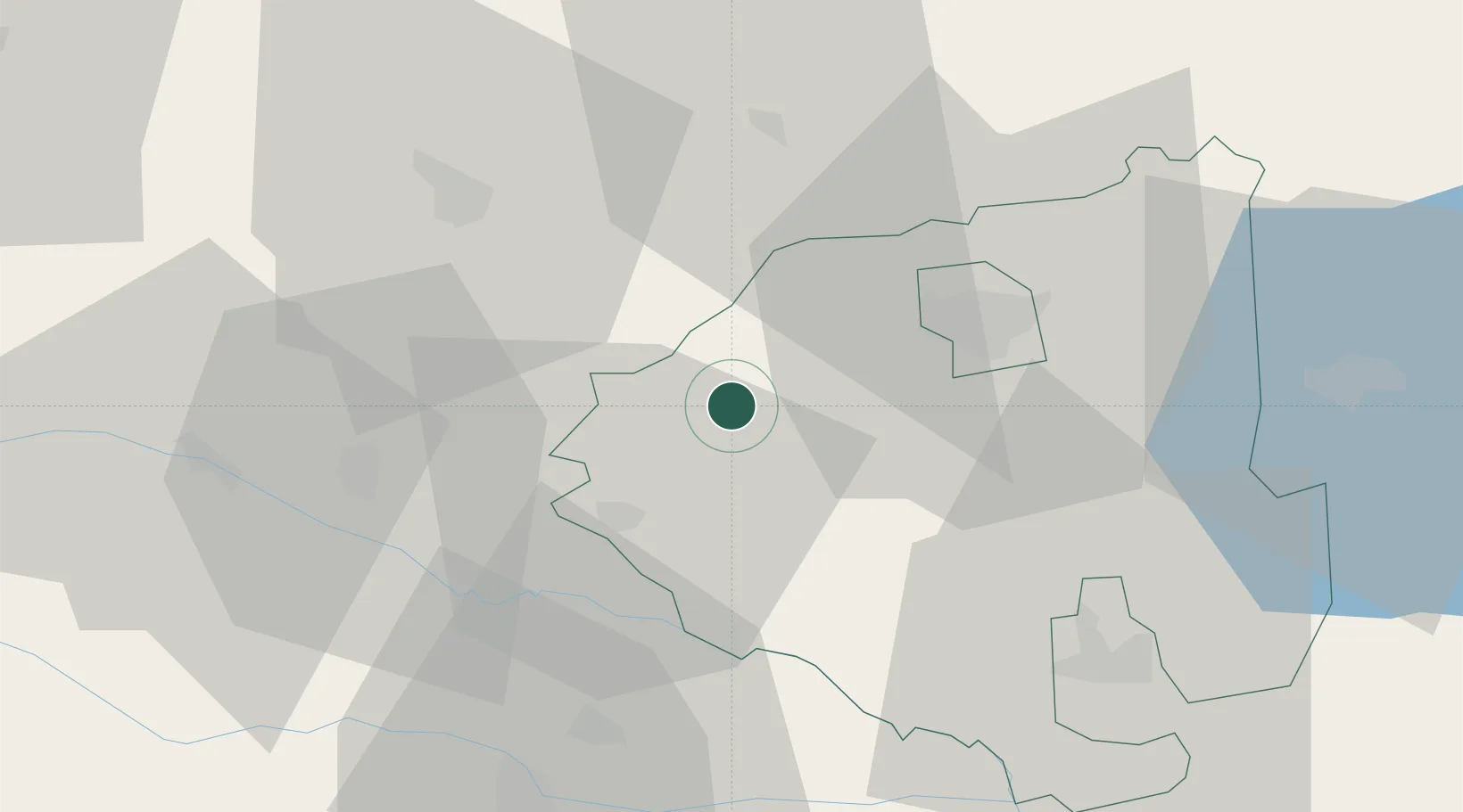
Hub Profile
Place type
Populated place
Region
Međimurje
Population
351
Time zone
Europe/Zagreb
Elevation
302 m
Location
Nearby Logistics Neighbours
Cities
- 1Lenti15 km
- 2Bagod18 km
- 3Lendava22 km
- 4Zalaegerszeg22 km
- 5Nádasd23 km
Ports
- 1Bakar225 km
- 2Rijeka Luka228 km
- 3Omisalj231 km
- 4Senj235 km
- 5Trieste249 km
Airports
- 1Hévíz–Balaton Airport46 km
- 2Maribor Edvard Rusjan Airport74 km
- 3Graz Airport90 km
- 4Taszár Air Base111 km
- 5Zagreb Franjo Tuđman International Airport118 km
Trade Zones
- 1Sjever Free Zone54 km
- 2Krapina-Zagorje Free Zone85 km
- 3PJ Free Zone Zagreb118 km
- 4Duro Daković Free Zone208 km
- 5Osijek Free Zone215 km
DatabookThe Record of Consolidated Knowledge
Croatia beyond logistics?