Transport Functions
Multimodal
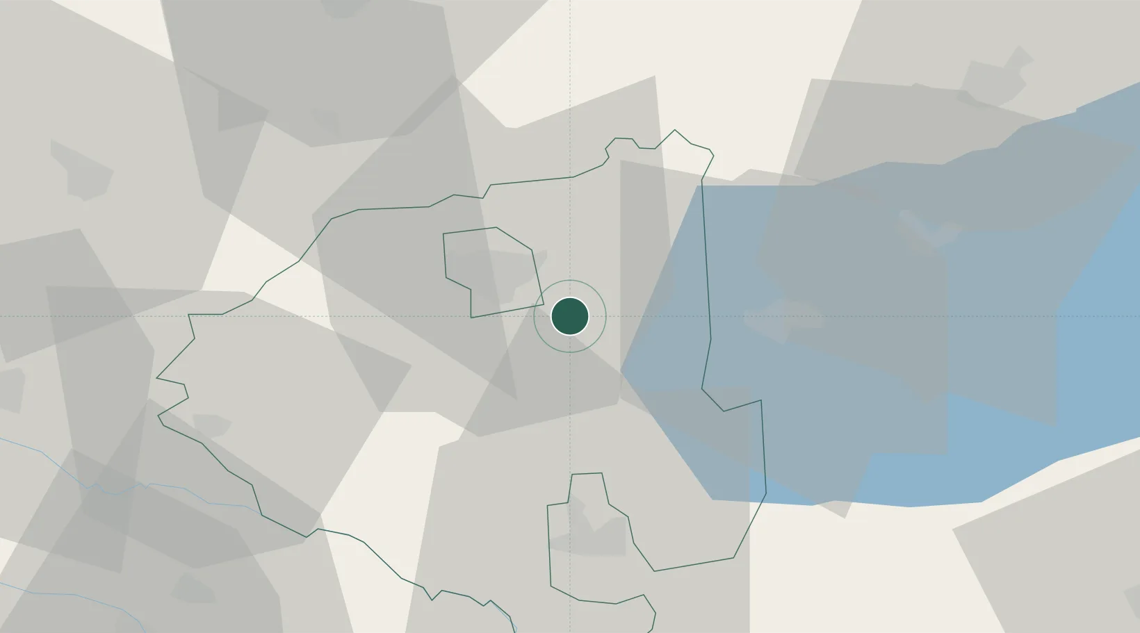
Hub Profile
Place type
Populated place
Region
Zala County
Time zone
Europe/Budapest
Elevation
166 m
Location
Nearby Logistics Neighbours
Cities
- 1Zalaegerszeg11 km
- 2Bagod19 km
- 3Nagyrada23 km
- 4Keszthely23 km
- 5Dragoslavec29 km
Ports
- 1Bakar249 km
- 2Rijeka Luka252 km
- 3Omisalj254 km
- 4Senj255 km
- 5Trieste277 km
Airports
- 1Hévíz–Balaton Airport19 km
- 2Taszár Air Base86 km
- 3Maribor Edvard Rusjan Airport102 km
- 4Győr-Pér Airport114 km
- 5Graz Airport117 km
Trade Zones
- 1Sjever Free Zone72 km
- 2Krapina-Zagorje Free Zone108 km
- 3PJ Free Zone Zagreb137 km
- 4Göd Special Economic Zone195 km
- 5Duro Daković Free Zone197 km
DatabookThe Record of Consolidated Knowledge
Hungary beyond logistics?