Transport Functions
Road
Multimodal
Hub Profile
Place type
Populated place
Region
Somogy County
Time zone
Europe/Budapest
Elevation
113 m
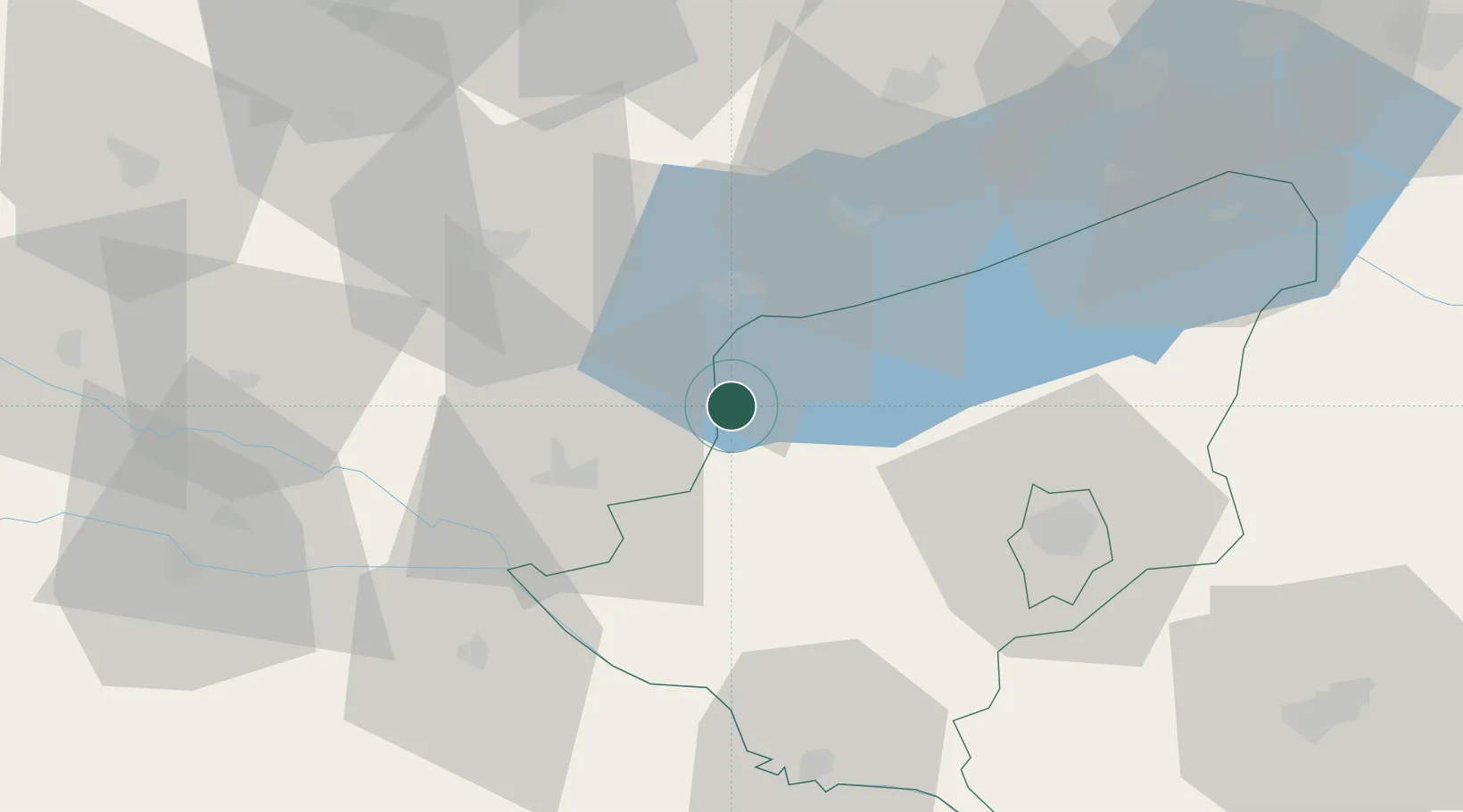
Location
Nearby Logistics Neighbours
Cities
- 1Nagyrada11 km
- 2Keszthely20 km
- 3Nemessándorháza32 km
- 4Badacsonyörs32 km
- 5Tapolca36 km
Ports
- 1Bakar254 km
- 2Senj255 km
- 3Rijeka Luka258 km
- 4Omisalj258 km
- 5Trieste289 km
Airports
- 1Hévíz–Balaton Airport13 km
- 2Taszár Air Base55 km
- 3Pécs-Pogány International Airport101 km
- 4Maribor Edvard Rusjan Airport120 km
- 5Győr-Pér Airport124 km
Trade Zones
- 1Sjever Free Zone77 km
- 2Krapina-Zagorje Free Zone116 km
- 3PJ Free Zone Zagreb137 km
- 4Apatin Free Zone166 km
- 5Duro Daković Free Zone168 km
DatabookThe Record of Consolidated Knowledge
Hungary beyond logistics?