Transport Functions
Port
Road
Hub Profile
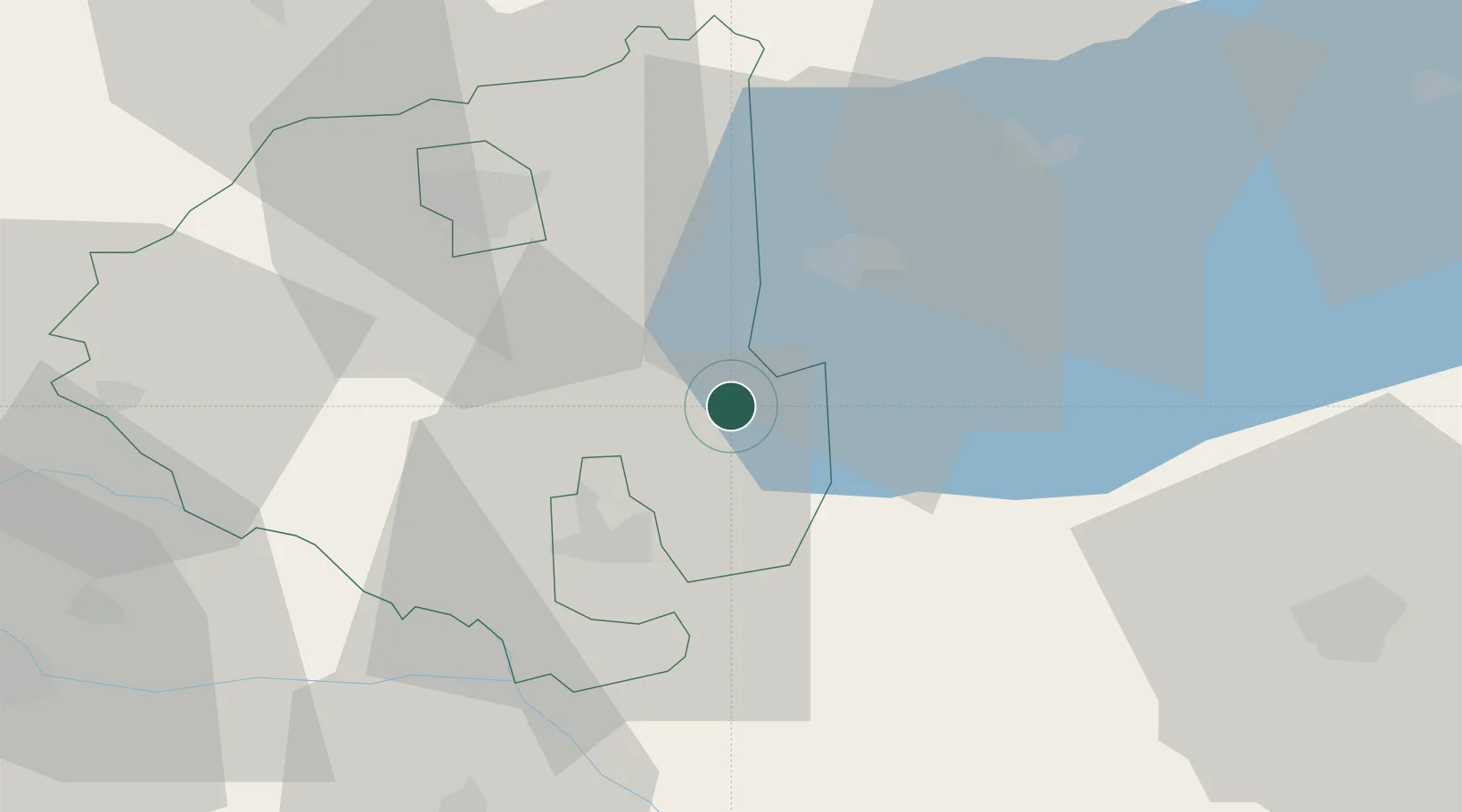
Place type
Populated place
Region
Zala County
Time zone
Europe/Budapest
Elevation
122 m
Location
Nearby Logistics Neighbours
Cities
- 1Savoly11 km
- 2Keszthely20 km
- 3Nemessándorháza23 km
- 4Zalaegerszeg32 km
- 5Murakeresztúr35 km
Ports
- 1Bakar248 km
- 2Senj250 km
- 3Rijeka Luka252 km
- 4Omisalj252 km
- 5Trieste281 km
Airports
- 1Hévíz–Balaton Airport8 km
- 2Taszár Air Base66 km
- 3Maribor Edvard Rusjan Airport111 km
- 4Pécs-Pogány International Airport111 km
- 5Győr-Pér Airport124 km
Trade Zones
- 1Sjever Free Zone70 km
- 2Krapina-Zagorje Free Zone108 km
- 3PJ Free Zone Zagreb132 km
- 4Duro Daković Free Zone175 km
- 5Apatin Free Zone177 km
DatabookThe Record of Consolidated Knowledge
Hungary beyond logistics?