Transport Functions
Rail
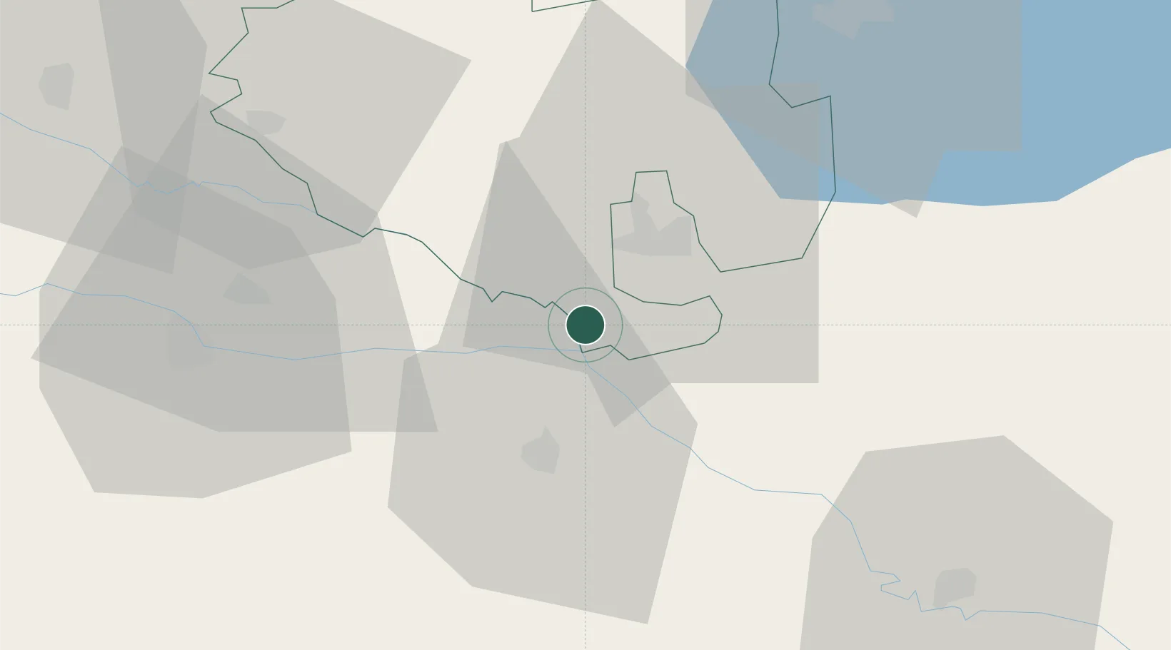
Hub Profile
Place type
Populated place
Region
Zala County
Population
1,969
Time zone
Europe/Budapest
Elevation
135 m
Location
Nearby Logistics Neighbours
Ports
- 1Bakar216 km
- 2Senj216 km
- 3Omisalj221 km
- 4Rijeka Luka221 km
- 5Trieste255 km
Airports
Trade Zones
- 1Sjever Free Zone42 km
- 2Krapina-Zagorje Free Zone81 km
- 3PJ Free Zone Zagreb99 km
- 4Duro Daković Free Zone158 km
- 5Osijek Free Zone167 km
DatabookThe Record of Consolidated Knowledge
Hungary beyond logistics?