Transport Functions
Rail
Road
Hub Profile
Place type
Provincial seat
Region
Međimurje
Population
2,343
Time zone
Europe/Zagreb
Elevation
141 m
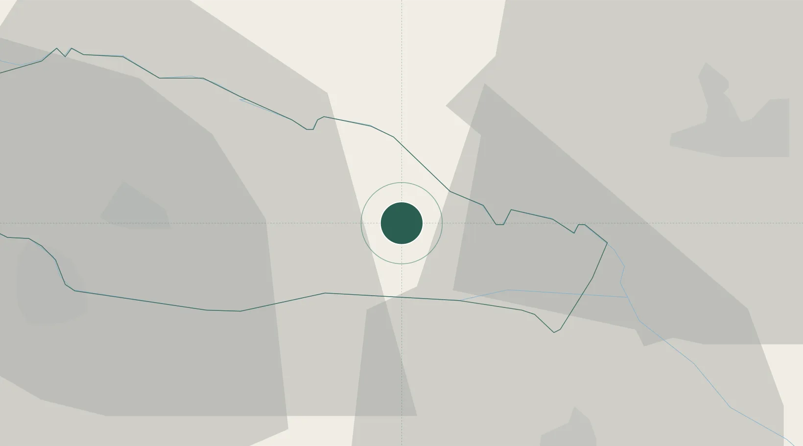
Location
Nearby Logistics Neighbours
Cities
- 1Prelog8 km
- 2Belica12 km
- 3Kotoriba12 km
- 4Ludbreg16 km
- 5Murakeresztúr17 km
Ports
- 1Bakar205 km
- 2Senj208 km
- 3Rijeka Luka209 km
- 4Omisalj209 km
- 5Trieste240 km
Airports
Trade Zones
- 1Sjever Free Zone27 km
- 2Krapina-Zagorje Free Zone66 km
- 3PJ Free Zone Zagreb89 km
- 4Duro Daković Free Zone170 km
- 5Osijek Free Zone182 km
DatabookThe Record of Consolidated Knowledge
Croatia beyond logistics?