Transport Functions
Rail
Road
Border Crossing
Hub Profile
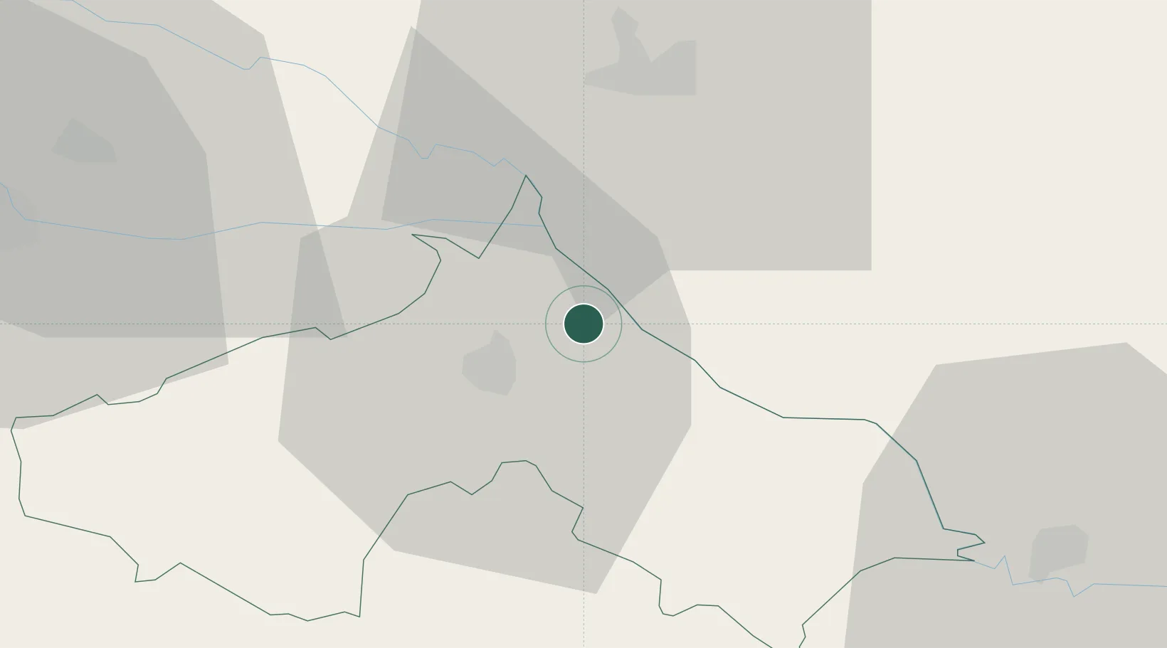
Place type
Populated place
Region
Koprivnica-Križevci
Population
232
Time zone
Europe/Zagreb
Elevation
128 m
Location
Nearby Logistics Neighbours
Cities
- 1Koprivnica11 km
- 2Csurgo14 km
- 3Murakeresztúr15 km
- 4Kotoriba17 km
- 5Rasinja17 km
Ports
- 1Senj208 km
- 2Bakar211 km
- 3Omisalj215 km
- 4Rijeka Luka216 km
- 5Trieste253 km
Airports
Trade Zones
- 1Sjever Free Zone45 km
- 2Krapina-Zagorje Free Zone80 km
- 3PJ Free Zone Zagreb93 km
- 4Duro Daković Free Zone144 km
- 5Osijek Free Zone155 km
DatabookThe Record of Consolidated Knowledge
Croatia beyond logistics?