Transport Functions
Multimodal
Hub Profile
Place type
Provincial seat
Region
Međimurje
Population
4,042
Time zone
Europe/Zagreb
Elevation
148 m
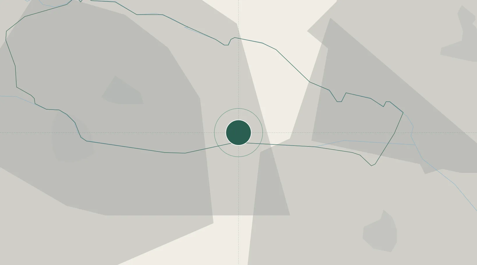
Location
Nearby Logistics Neighbours
Ports
- 1Bakar197 km
- 2Senj200 km
- 3Rijeka Luka201 km
- 4Omisalj202 km
- 5Trieste233 km
Airports
Trade Zones
- 1Sjever Free Zone21 km
- 2Krapina-Zagorje Free Zone59 km
- 3PJ Free Zone Zagreb82 km
- 4Duro Daković Free Zone169 km
- 5Osijek Free Zone182 km
DatabookThe Record of Consolidated Knowledge
Croatia beyond logistics?