Transport Functions
Rail
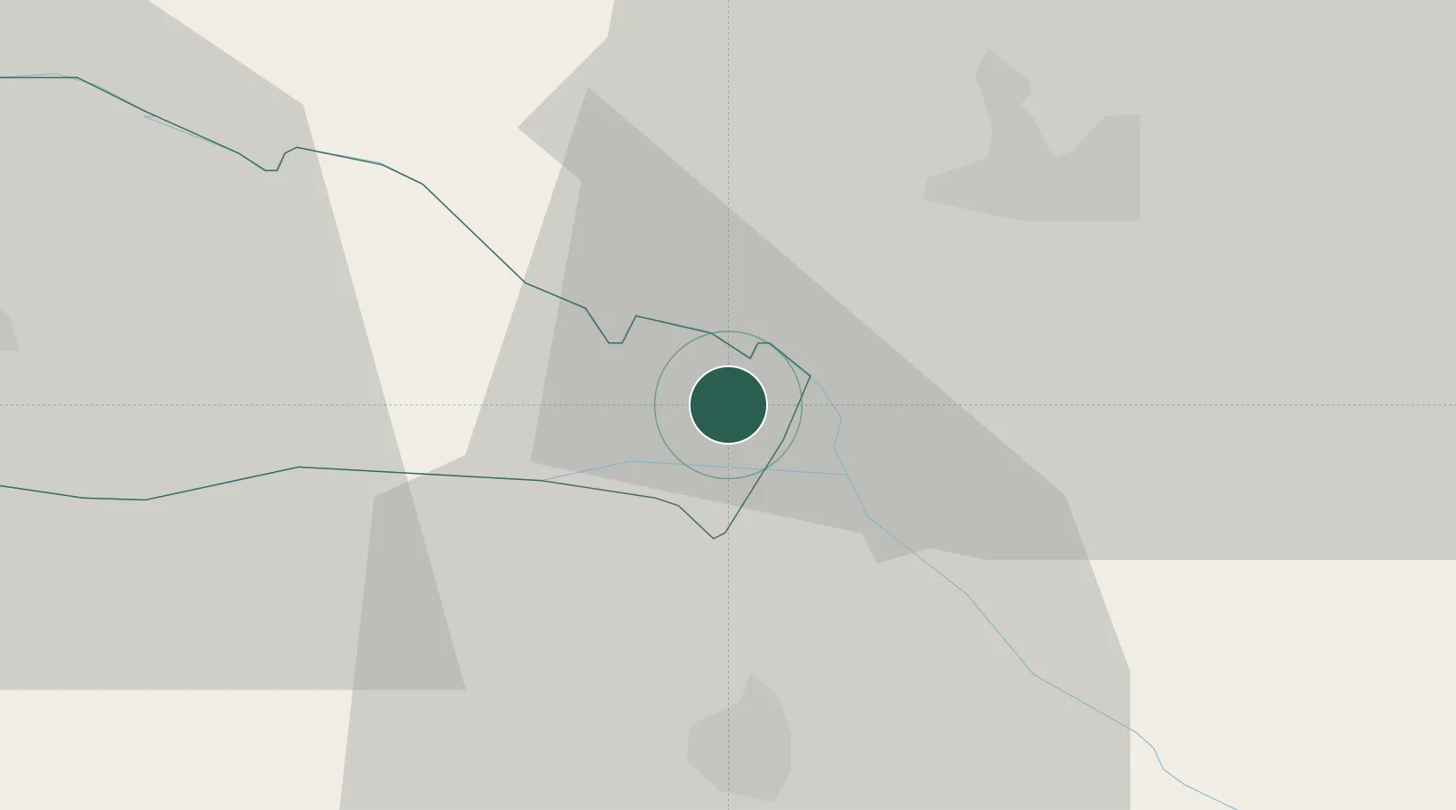
Hub Profile
Place type
Provincial seat
Region
Međimurje
Population
2,938
Time zone
Europe/Zagreb
Elevation
134 m
Location
Nearby Logistics Neighbours
Cities
- 1Murakeresztúr5 km
- 2Gorican12 km
- 3Botovo17 km
- 4Prelog17 km
- 5Ludbreg20 km
Ports
- 1Bakar212 km
- 2Senj213 km
- 3Omisalj216 km
- 4Rijeka Luka217 km
- 5Trieste250 km
Airports
Trade Zones
- 1Sjever Free Zone37 km
- 2Krapina-Zagorje Free Zone76 km
- 3PJ Free Zone Zagreb95 km
- 4Duro Daković Free Zone161 km
- 5Osijek Free Zone171 km
DatabookThe Record of Consolidated Knowledge
Croatia beyond logistics?