Transport Functions
Rail
Road
Hub Profile
Place type
Provincial seat
Region
Somogy County
Population
5,682
Time zone
Europe/Budapest
Elevation
151 m
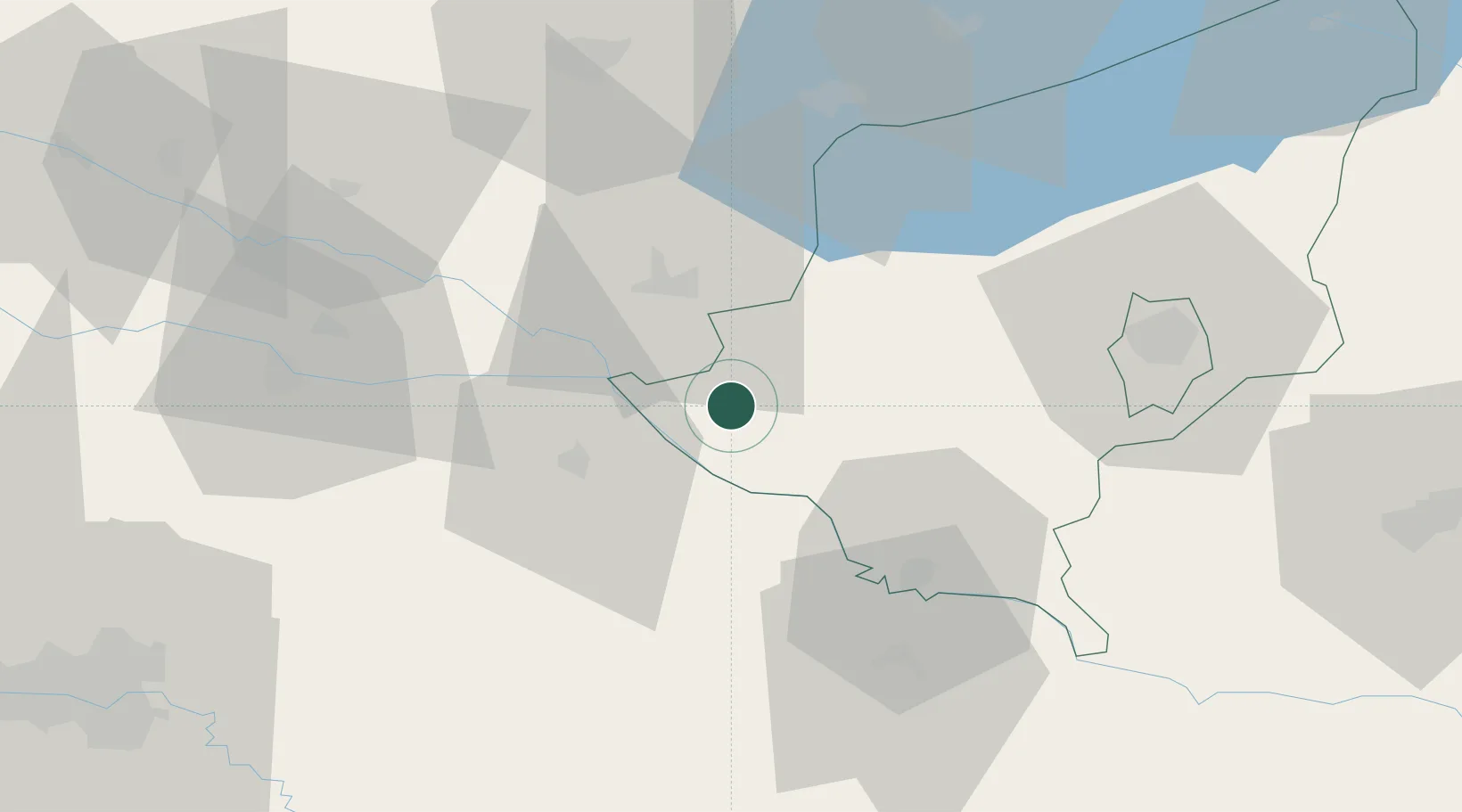
Location
Nearby Logistics Neighbours
Cities
- 1Berzence9 km
- 2Botovo14 km
- 3Murakeresztúr18 km
- 4Kotoriba23 km
- 5Koprivnica24 km
Ports
- 1Senj222 km
- 2Bakar225 km
- 3Omisalj229 km
- 4Rijeka Luka230 km
- 5Trieste267 km
Airports
Trade Zones
- 1Sjever Free Zone57 km
- 2Krapina-Zagorje Free Zone94 km
- 3PJ Free Zone Zagreb107 km
- 4Duro Daković Free Zone142 km
- 5Osijek Free Zone149 km
DatabookThe Record of Consolidated Knowledge
Hungary beyond logistics?