Transport Functions
Rail
Road
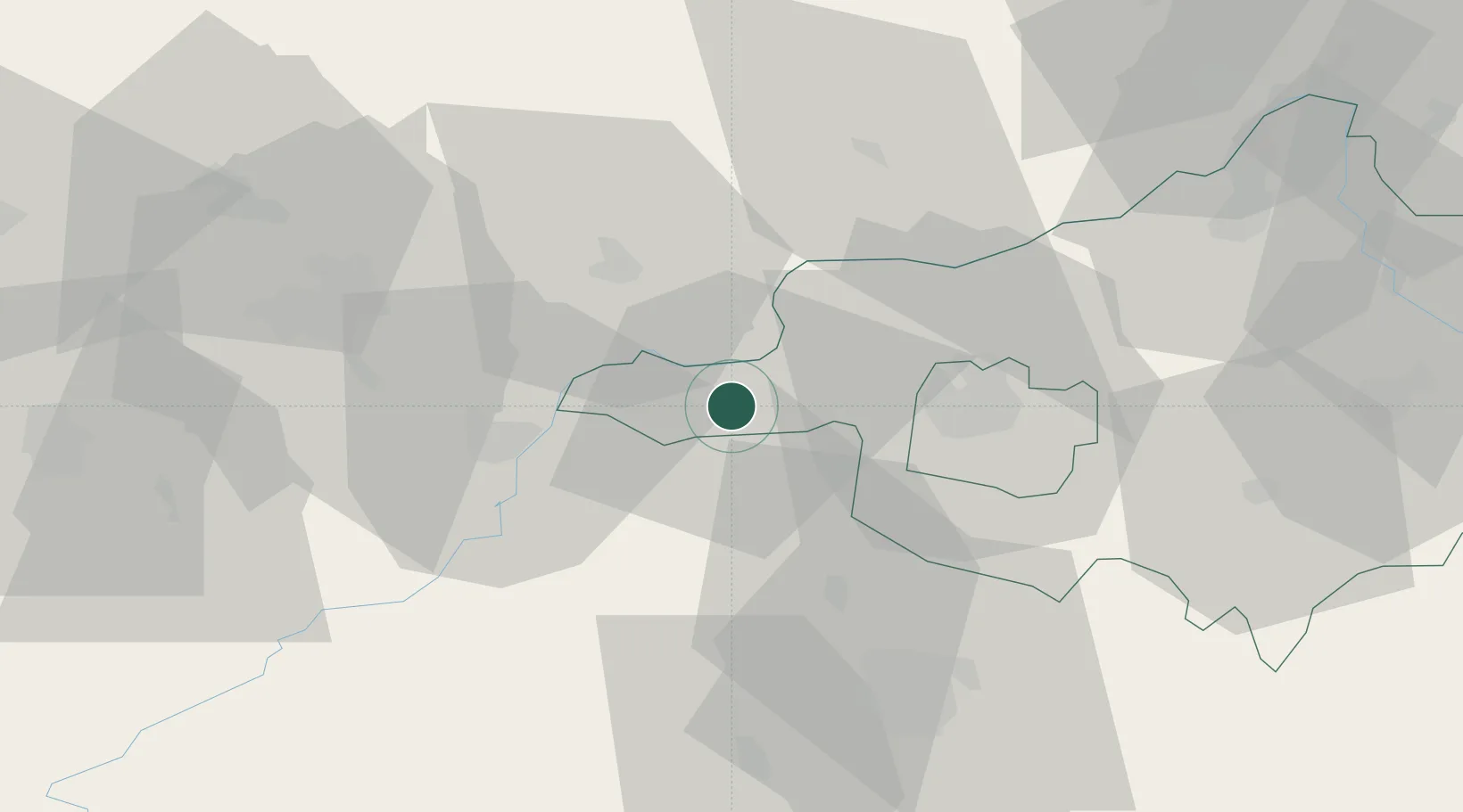
Hub Profile
Place type
Populated place
Region
Szabolcs-Szatmár-Bereg
Time zone
Europe/Budapest
Elevation
97 m
Location
Nearby Logistics Neighbours
Cities
- 1Tiszalök6 km
- 2Tokaj17 km
- 3Tarcal19 km
- 4Polgar22 km
- 5Mezozombor22 km
Ports
- 1Braila589 km
- 2Senj596 km
- 3Bakar600 km
- 4Omisalj604 km
- 5Rijeka Luka605 km
Airports
Trade Zones
- 1Customs Free Zone Zahony76 km
- 2Transcarpathian Special Economic Zone (Zakarpattia)100 km
- 3Göd Special Economic Zone167 km
- 4Free Zone Curtici Arad180 km
- 5VGP Park Arad199 km
DatabookThe Record of Consolidated Knowledge
Hungary beyond logistics?