Transport Functions
Port
Airport
Hub Profile
Place type
Regional capital
Region
Hajdú-Bihar
Population
202,402
Time zone
Europe/Budapest
Elevation
124 m
Logistics facilities
2
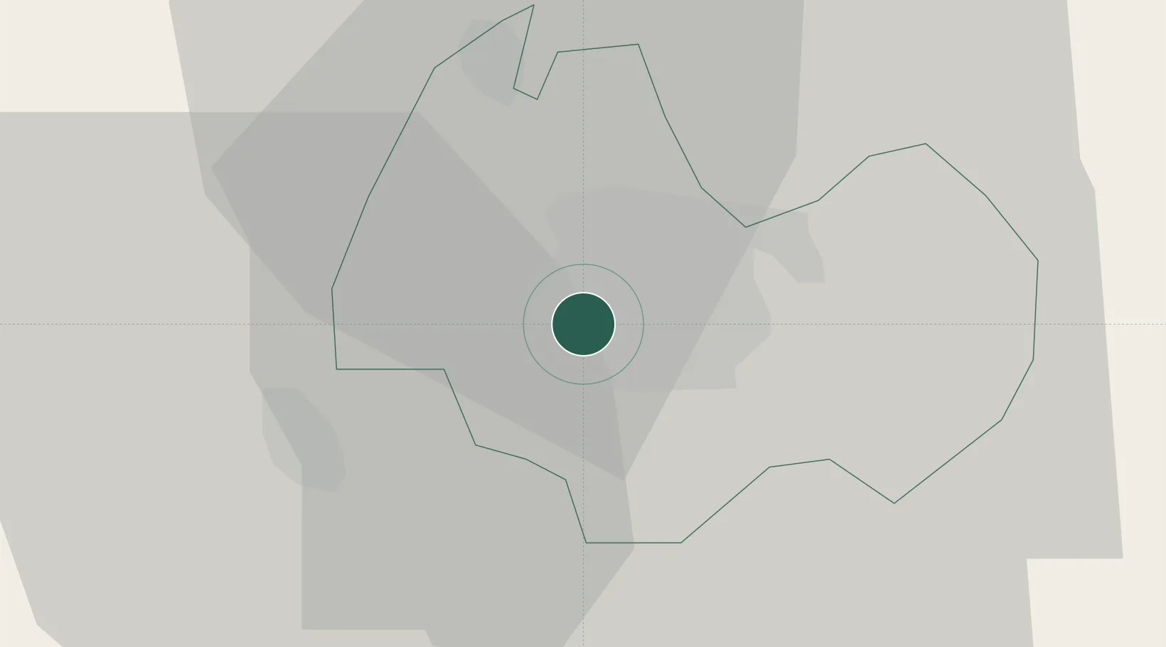
Location
Nearby Logistics Neighbours
Airports
Trade Zones
- 1Customs Free Zone Zahony106 km
- 2Transcarpathian Special Economic Zone (Zakarpattia)132 km
- 3Free Zone Curtici Arad133 km
- 4VGP Park Arad153 km
- 5Göd Special Economic Zone181 km
DatabookThe Record of Consolidated Knowledge
Hungary beyond logistics?