Transport Functions
Multimodal
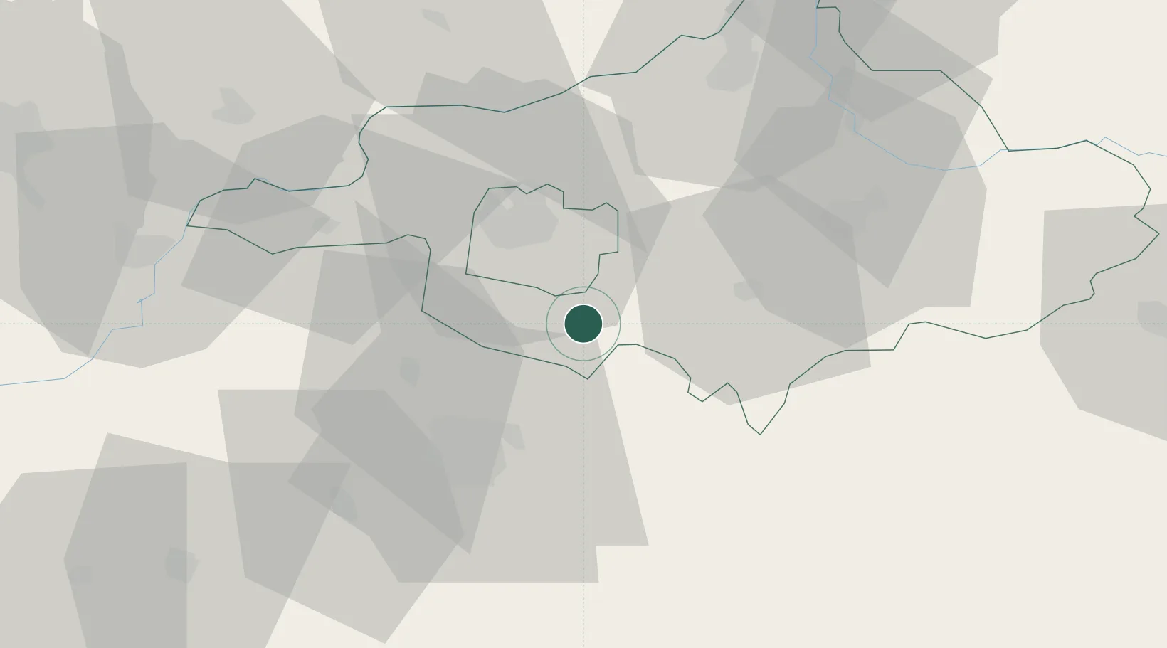
Hub Profile
Place type
Populated place
Region
Szabolcs-Szatmár-Bereg
Population
10,796
Time zone
Europe/Budapest
Elevation
123 m
Location
Nearby Logistics Neighbours
Cities
- 1Biri4 km
- 2Nyírgelse11 km
- 3Teglas13 km
- 4Nyírbátor23 km
- 5Nyírábrány30 km
Ports
- 1Braila548 km
- 2Senj616 km
- 3Bakar623 km
- 4Omisalj626 km
- 5Rijeka Luka628 km
Airports
Trade Zones
DatabookThe Record of Consolidated Knowledge
Hungary beyond logistics?